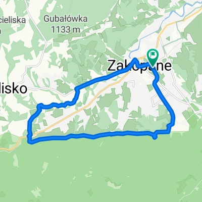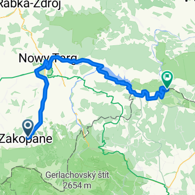
49.222, 19.962 až 49.144, 19.903
- 12.3 km
- 44 m
- 441 m
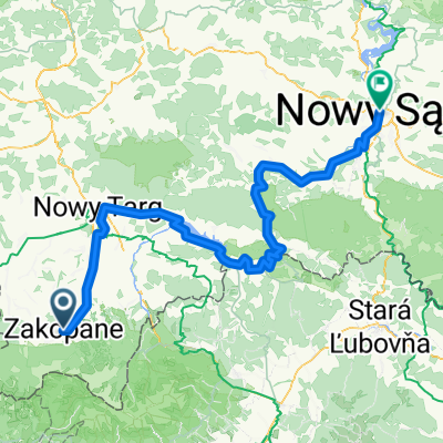
- Zakopane, Lesser Poland Voivodeship, Poland
A cycling route starting in Zakopane, Lesser Poland Voivodeship, Poland.
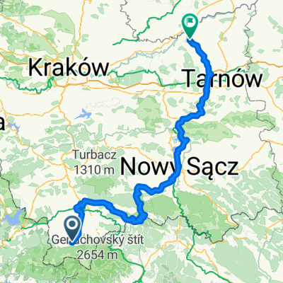
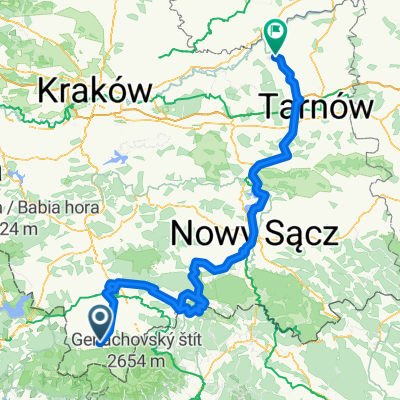
Overview
created this 3 years ago


Route quality
Cycleway
34.4 km
(42 %)
Quiet road
15.5 km
(19 %)
Paved
61.4 km
(75 %)
Unpaved
9 km
(11 %)
Asphalt
44.2 km
(54 %)
Concrete
17.2 km
(21 %)
Continue with Bikemap
You would like to ride Guty 3b, Zakopane do Trzech Koron 34a, Sromowce Niżne or customize it for your own trip? Here is what you can do with this Bikemap route:
Free trial for 3 days, or one-time payment. More about Bikemap Premium.
Discover more Premium features.
Get Bikemap PremiumFrom our community
Open it in the app