Fischergasse nach Fritz-Hornschuch-Straße
- 7.1 km
- 172 m
- 209 m
- Kulmbach, Bavaria, Germany
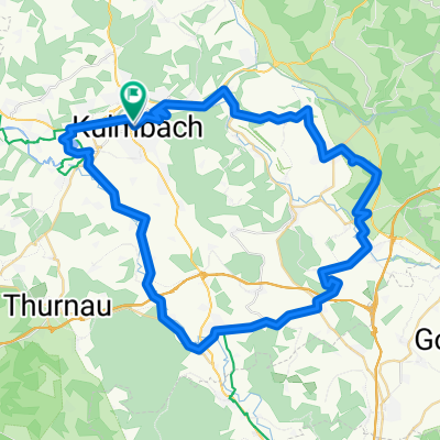
A cycling route starting in Kulmbach, Bavaria, Germany.
Overview
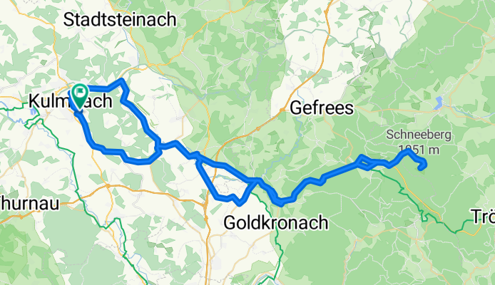
From Kulmbach via Trebgast and Himmelkron to Bad Berneck, the route is still relatively flat. Then the ascent begins to Bischofsgrün, which becomes really steep from the Höhenklinik to the summit of Schneeberg. However, on the way back, you are rewarded with a beautiful descent.
created this 18 years ago
Route quality
Quiet road
15.8 km
(19 %)
Road
10.8 km
(13 %)
Paved
52.4 km
(63 %)
Unpaved
2.5 km
(3 %)
Asphalt
51.6 km
(62 %)
Gravel
1.7 km
(2 %)
Continue with Bikemap
You would like to ride Kulmbach-Schneeberg und zurück or customize it for your own trip? Here is what you can do with this Bikemap route:
Free trial for 3 days, or one-time payment. More about Bikemap Premium.
Discover more Premium features.
Get Bikemap PremiumFrom our community
Open it in the app