
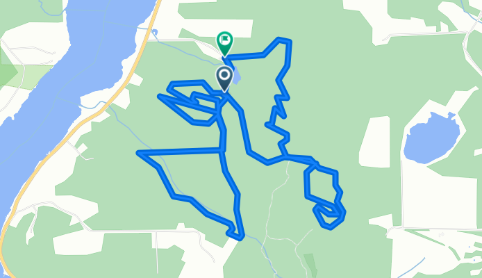
Churning Rapids
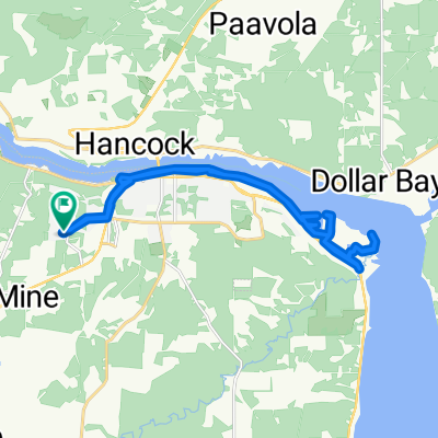
A cycling route starting in Hancock, Michigan, United States of America.
Overview
About this route
Nice little Mountain Bike Park. Just good dirt, Not very technical, some nice climbs, good flowing singletrack.
Many Thanks to the Land Doners!
- -:--
- Duration
- 13.2 km
- Distance
- 219 m
- Ascent
- 219 m
- Descent
- ---
- Avg. speed
- ---
- Max. altitude
Continue with Bikemap
Use, edit, or download this cycling route
You would like to ride Churning Rapids or customize it for your own trip? Here is what you can do with this Bikemap route:
Free features
- Save this route as favorite or in collections
- Copy & plan your own version of this route
- Sync your route with Garmin or Wahoo
Premium features
Free trial for 3 days, or one-time payment. More about Bikemap Premium.
- Navigate this route on iOS & Android
- Export a GPX / KML file of this route
- Create your custom printout (try it for free)
- Download this route for offline navigation
Discover more Premium features.
Get Bikemap PremiumFrom our community
Other popular routes starting in Hancock
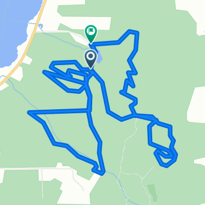 Churning Rapids
- Distance
- 13.2 km
- Ascent
- 219 m
- Descent
- 219 m
- Location
- Hancock, Michigan, United States of America
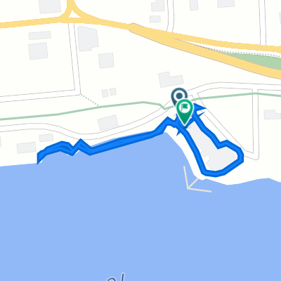 Navy Street 99, Hancock to Navy Street 99, Hancock
- Distance
- 0.7 km
- Ascent
- 0 m
- Descent
- 4 m
- Location
- Hancock, Michigan, United States of America
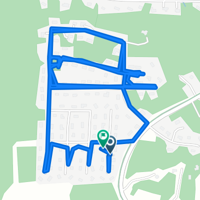 2101 Hunters Ln, Houghton to 2100 Hunters Ln, Houghton
- Distance
- 7 km
- Ascent
- 141 m
- Descent
- 138 m
- Location
- Hancock, Michigan, United States of America
 2101 Hunters Ln, Houghton to 2100 Hunters Ln, Houghton
- Distance
- 25.1 km
- Ascent
- 246 m
- Descent
- 244 m
- Location
- Hancock, Michigan, United States of America
Open it in the app