

Tour über die Alb nach Ulm
- 177.4 km
- 2,113 m
- 2,011 m
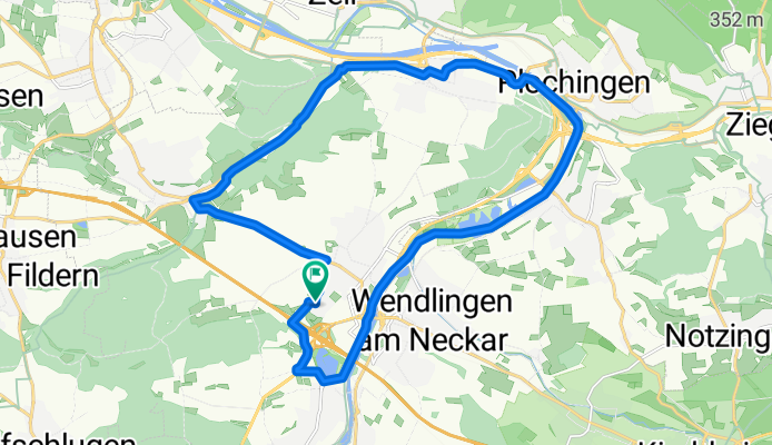
- Köngen, Baden-Wurttemberg, Germany
A cycling route starting in Köngen, Baden-Wurttemberg, Germany.
Overview
created this 17 years ago
Route quality
Path
8.7 km
40 %
Track
7 km
32 %
Paved
15.9 km
(73 %)
Unpaved
5.7 km
(26 %)
Asphalt
14.4 km
66 %
Gravel
3.9 km
18 %
Continue with Bikemap
You would like to ride Plochinger Kopf or customize it for your own trip? Here is what you can do with this Bikemap route:
Free trial for 3 days, or one-time payment. More about Bikemap Premium.
Discover more Premium features.
Get Bikemap PremiumFrom our community
Open it in the app


