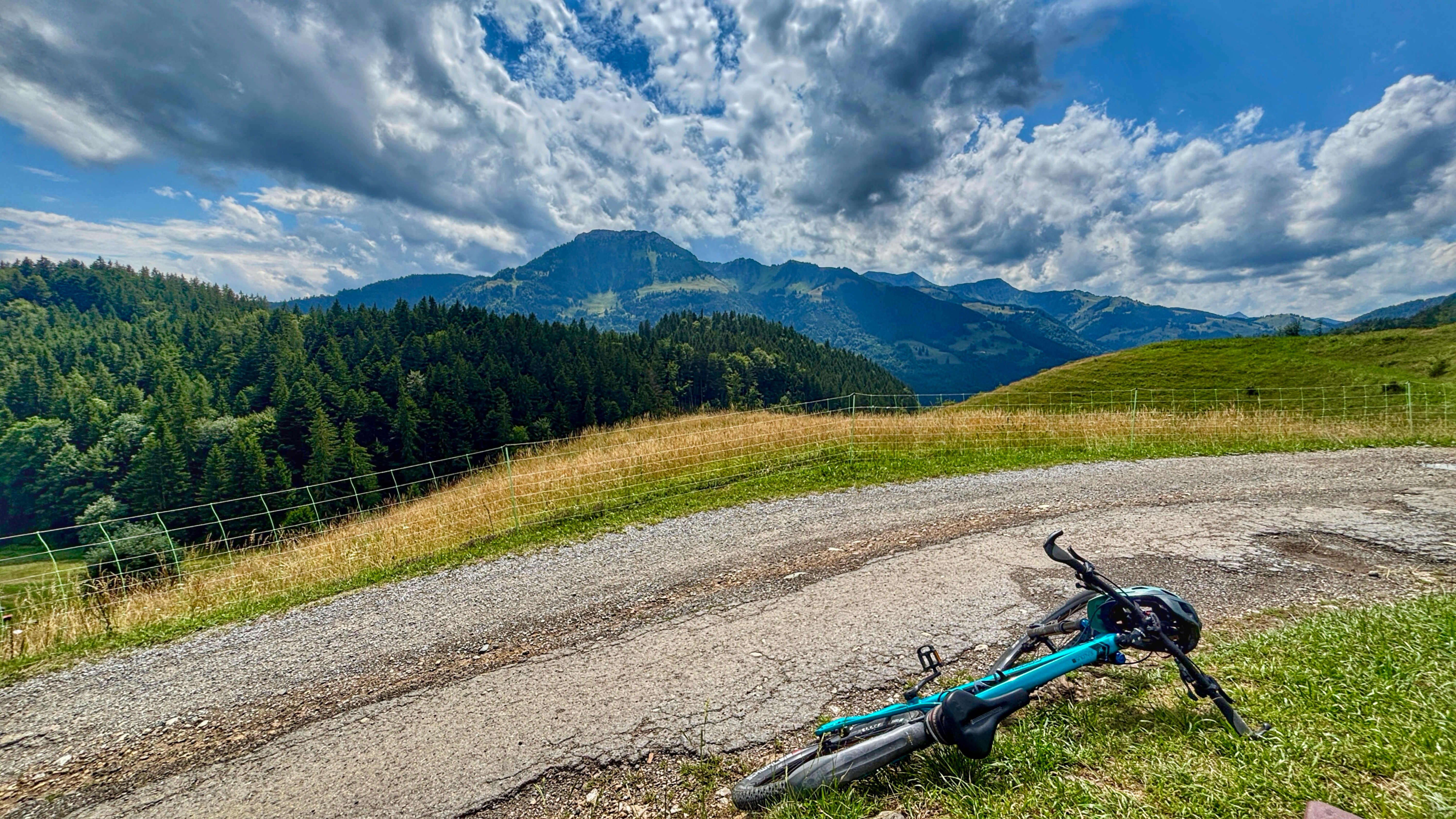
MTB Kids & Family Tatzelwurm
- 30.9 km
- 1,065 m
- 1,046 m
- Oberaudorf, Bavaria, Germany
A cycling route starting in Oberaudorf, Bavaria, Germany.
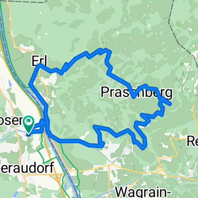
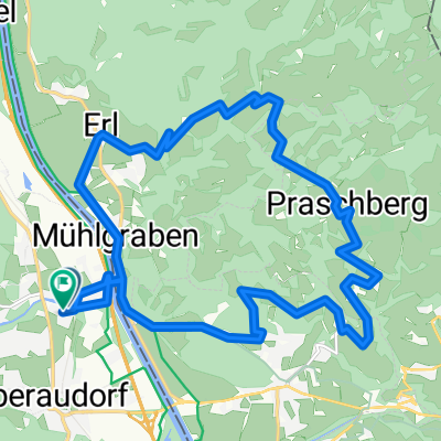
Overview
Oberaudorf - (Mozart Radweg) - Niederndorf - Walchsee - Mooslenz - Kössen - Thurnbichl - Brand - Schwendt - Fischbach - Griesenau - Gasteig - KirchdorfTirol - Mitterndorf - Fritzen - Oberhofen - Reitham - Hüttschmied - Fieberbrunn
Hotel Metzgerwirt, Dorfstraße 15, Fieberbrunn
created this 3 years ago
Route quality
Quiet road
26.1 km
(41 %)
Track
14.6 km
(23 %)
Paved
50.2 km
(79 %)
Unpaved
9.5 km
(15 %)
Asphalt
50.2 km
(79 %)
Gravel
8.3 km
(13 %)
Route highlights

Idyllischer Rastplatz mit Wetterschutz
Bank und Badestelle

Fleißiges Mühlrad

Staffenbrücke

Abkühlung im Fluss
Rastbank mit Handyladestation

Teufelskapelle mit Bank

Überdachte Brücke: Geistlicher schaut auf das Wasser

Hotel Metzgerwirt, Dorfstraße 15, Fieberbrunn
Continue with Bikemap
You would like to ride PWOZKS 3: Oberaudorf-Fieberbrunn, 63,5km 880hm or customize it for your own trip? Here is what you can do with this Bikemap route:
Free trial for 3 days, or one-time payment. More about Bikemap Premium.
Discover more Premium features.
Get Bikemap PremiumFrom our community
Open it in the app