SKG lang 2: Strobl-Gößl; 66,1km 680hm
A cycling route starting in Strobl, Salzburg, Austria.
Overview
About this route
Strobl on Wolfgangsee - Bürgelstein - (R2) - Weinbach - Aigen - Haiden - Kreutern - Bad Ischl - Lauffen - Bad Goisern - Hallstätt - (ferry) - Winkl - Obertraun Koppenbrüllerhöhle - Unterkainisch - Bad Aussee - Grundlsee - Gößl
Guesthouse Pension Veit, Gößl 13, Gößl on Grundlsee
- -:--
- Duration
- 66.1 km
- Distance
- 871 m
- Ascent
- 691 m
- Descent
- ---
- Avg. speed
- 737 m
- Max. altitude
Route quality
Waytypes & surfaces along the route
Waytypes
Quiet road
11.9 km
(18 %)
Path
9.3 km
(14 %)
Surfaces
Paved
48.9 km
(74 %)
Unpaved
14.5 km
(22 %)
Asphalt
46.9 km
(71 %)
Gravel
13.2 km
(20 %)
Route highlights
Points of interest along the route

Point of interest after 16.1 km
Traunbrücke von 1892

Point of interest after 16.9 km
Glückskapelle

Point of interest after 17 km
Kaiser‘s Jagd Standbild

Point of interest after 18.2 km
Villa Blumenthal

Point of interest after 29.6 km
Die Lindwurm Skulptur

Point of interest after 33 km
Hängebrücke

Point of interest after 34.8 km
Blick auf Schloss Grub

Point of interest after 35 km
Salzkontor

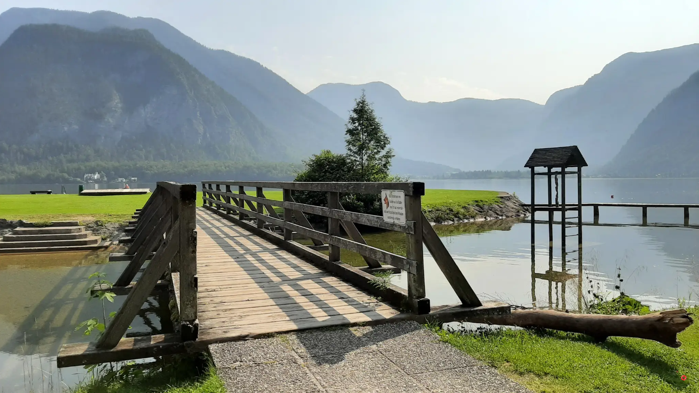
Point of interest after 35.8 km
Brücke zur Badeinsel

Point of interest after 36.1 km
Blick auf Obertraun

Point of interest after 37.9 km
Blick auf Hallstatt
Point of interest after 43.5 km
Rastplatz

Point of interest after 45.5 km
Hängebrücke über Traun
Point of interest after 58.7 km
Grundlsee
Point of interest after 61.7 km
Naturbadeplatz
Point of interest after 62.1 km
Badeplatz "im Kreuz"
Point of interest after 64 km
FKK Badestrand
Point of interest after 65.6 km
Badeplatz in Gössl

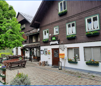
Point of interest after 66.1 km
Gasthof Pension Veit, Gößl 13, Gößl am Grundlsee
Continue with Bikemap
Use, edit, or download this cycling route
You would like to ride SKG lang 2: Strobl-Gößl; 66,1km 680hm or customize it for your own trip? Here is what you can do with this Bikemap route:
Free features
- Save this route as favorite or in collections
- Copy & plan your own version of this route
- Sync your route with Garmin or Wahoo
Premium features
Free trial for 3 days, or one-time payment. More about Bikemap Premium.
- Navigate this route on iOS & Android
- Export a GPX / KML file of this route
- Create your custom printout (try it for free)
- Download this route for offline navigation
Discover more Premium features.
Get Bikemap PremiumFrom our community
Other popular routes starting in Strobl
 Ke třem jezerům
- Distance
- 44.5 km
- Ascent
- 969 m
- Descent
- 972 m
- Location
- Strobl, Salzburg, Austria
 Strobl 1.day
- Distance
- 29.4 km
- Ascent
- 368 m
- Descent
- 365 m
- Location
- Strobl, Salzburg, Austria
 K Mondsee na parkoviště
- Distance
- 31.2 km
- Ascent
- 403 m
- Descent
- 426 m
- Location
- Strobl, Salzburg, Austria
 Strobl_Buchberghutte_Strobl
- Distance
- 41.1 km
- Ascent
- 673 m
- Descent
- 677 m
- Location
- Strobl, Salzburg, Austria
 42-STR-SCH-ATT-MON-WOL-STR
- Distance
- 41.6 km
- Ascent
- 686 m
- Descent
- 689 m
- Location
- Strobl, Salzburg, Austria
 40-SCH-MON-StG-StW-SCH (LHR)
- Distance
- 39.4 km
- Ascent
- 548 m
- Descent
- 548 m
- Location
- Strobl, Salzburg, Austria
 Okolo Wolfgansee
- Distance
- 42.5 km
- Ascent
- 955 m
- Descent
- 954 m
- Location
- Strobl, Salzburg, Austria
 Okolo Wolfgansee II
- Distance
- 29.1 km
- Ascent
- 507 m
- Descent
- 509 m
- Location
- Strobl, Salzburg, Austria
Open it in the app


