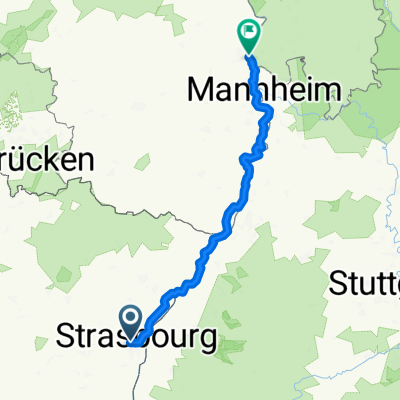
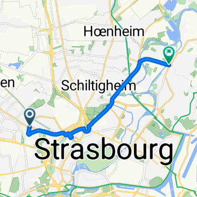
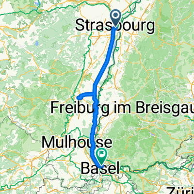
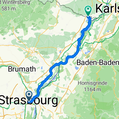
Straatsburg
A cycling route starting in Strasbourg, Grand Est, France.
Overview
About this route
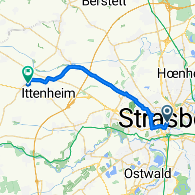
Strasbourg - Michelin guide walk 6 km from Place de la Cathédrale
- -:--
- Duration
- 5.7 km
- Distance
- 22 m
- Ascent
- 25 m
- Descent
- ---
- Avg. speed
- 153 m
- Max. altitude
Continue with Bikemap
Use, edit, or download this cycling route
You would like to ride Straatsburg or customize it for your own trip? Here is what you can do with this Bikemap route:
Free features
- Save this route as favorite or in collections
- Copy & plan your own version of this route
- Sync your route with Garmin or Wahoo
Premium features
Free trial for 3 days, or one-time payment. More about Bikemap Premium.
- Navigate this route on iOS & Android
- Export a GPX / KML file of this route
- Create your custom printout (try it for free)
- Download this route for offline navigation
Discover more Premium features.
Get Bikemap PremiumFrom our community
Other popular routes starting in Strasbourg
Nach balingen- Distance
- 135.1 km
- Ascent
- 2,054 m
- Descent
- 1,676 m
- Location
- Strasbourg, Grand Est, France
Place de la Gare, Straßburg nach Hauptstraße, Offenburg- Distance
- 27.1 km
- Ascent
- 249 m
- Descent
- 227 m
- Location
- Strasbourg, Grand Est, France
alsacee- Distance
- 161.1 km
- Ascent
- 208 m
- Descent
- 96 m
- Location
- Strasbourg, Grand Est, France
Itinéraire à Strasbourg- Distance
- 7.4 km
- Ascent
- 14 m
- Descent
- 22 m
- Location
- Strasbourg, Grand Est, France
Alt route all in one map- Distance
- 270.3 km
- Ascent
- 793 m
- Descent
- 795 m
- Location
- Strasbourg, Grand Est, France
Strasbourg Lyon- Distance
- 700.7 km
- Ascent
- 4,259 m
- Descent
- 4,218 m
- Location
- Strasbourg, Grand Est, France
ALSACE - Stras to Furd- Distance
- 17.1 km
- Ascent
- 78 m
- Descent
- 46 m
- Location
- Strasbourg, Grand Est, France
Quartier de la Gare, Straßburg nach Route des Romains, Straßburg- Distance
- 2.3 km
- Ascent
- 11 m
- Descent
- 8 m
- Location
- Strasbourg, Grand Est, France
Open it in the app


