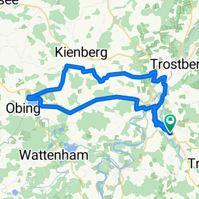
sonntags Route Chieming
- 40.5 km
- 317 m
- 314 m
- Traunreut, Bavaria, Germany
A cycling route starting in Traunreut, Bavaria, Germany.
Overview
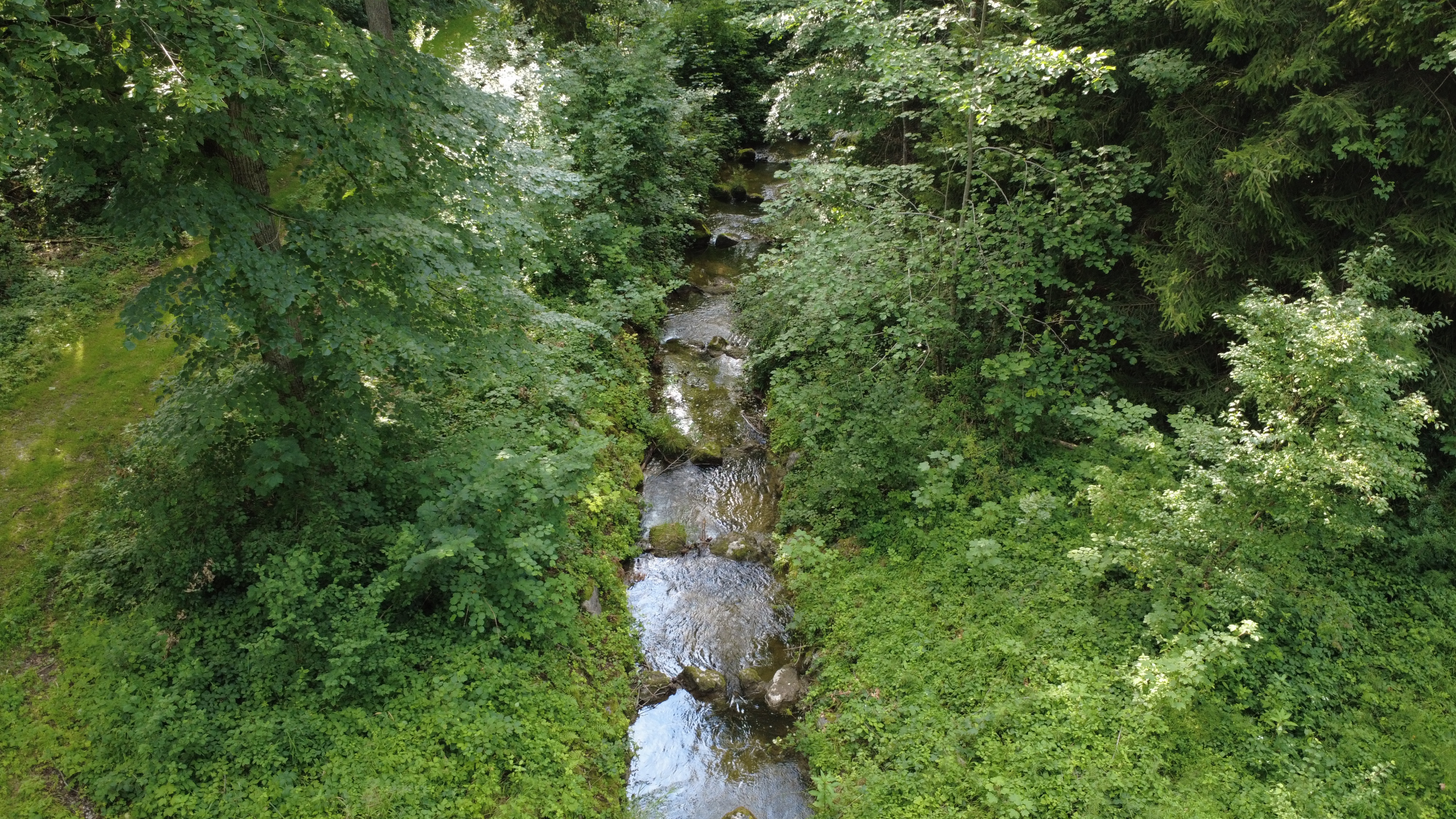
St.Georgen - Irrsing - Haßmonig - (KLT) - Truchtlaching - (MOZ) - Seeon - (KW) - Oberbrunn - Wimm - Hinzing - Höswang - (BzB) - Almertsham - Siegsdorf - Halfing - Gunzenham - Schonstett - Moosham - Raming - (WRR) - Griesstätt - Katzbach - Mitterhof - Lehen - Potzmühle - Fassrain - Filzen - - Lohen - Sensau - Traxl - Grafing
Kastenwirt, Grafing, Lederergasse
created this 3 years ago
Route quality
Quiet road
38.5 km
(57 %)
Road
14.9 km
(22 %)
Paved
50.6 km
(75 %)
Unpaved
10.1 km
(15 %)
Asphalt
50 km
(74 %)
Gravel
7.4 km
(11 %)
Route highlights

Kirche Truchtlaching

Brauerei CAMBA

Blick auf Klosterseeon

Skulpturengarten mit Nackedeis...

Schloss Oberbrunn

Kirche von Höslwang

Kleine Kapelle am Wegesrand

Aussichtspunkt mit Bänken und Panoramaschautafel
Baden im Halfinger Naturerlebnisweiher

Köhlerbad

Bank neben Kapelle bei Moosham

Schiefer Turm von Sensau

Kastenwirt, Grafing, Lederergasse
Continue with Bikemap
You would like to ride SKG lang 8: Traunreut-Grafing; 67,5km 690hm or customize it for your own trip? Here is what you can do with this Bikemap route:
Free trial for 3 days, or one-time payment. More about Bikemap Premium.
Discover more Premium features.
Get Bikemap PremiumFrom our community
Open it in the app