
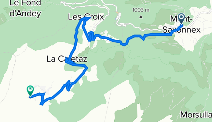
Mt Saxonnex - Col de Solaison
A cycling route starting in Mont-Saxonnex, Auvergne-Rhône-Alpes, France.
Overview
About this route
(Dauphine finish climb of the final stage)
- -:--
- Duration
- 10 km
- Distance
- 631 m
- Ascent
- 84 m
- Descent
- ---
- Avg. speed
- 1,508 m
- Avg. speed

Route quality
Waytypes & surfaces along the route
Waytypes
Road
8.9 km
(89 %)
Quiet road
0.7 km
(7 %)
Surfaces
Paved
8.1 km
(81 %)
Unpaved
0.4 km
(4 %)
Asphalt
8.1 km
(81 %)
Gravel
0.4 km
(4 %)
Undefined
1.4 km
(15 %)
Continue with Bikemap
Use, edit, or download this cycling route
You would like to ride Mt Saxonnex - Col de Solaison or customize it for your own trip? Here is what you can do with this Bikemap route:
Free features
- Save this route as favorite or in collections
- Copy & plan your own version of this route
- Sync your route with Garmin or Wahoo
Premium features
Free trial for 3 days, or one-time payment. More about Bikemap Premium.
- Navigate this route on iOS & Android
- Export a GPX / KML file of this route
- Create your custom printout (try it for free)
- Download this route for offline navigation
Discover more Premium features.
Get Bikemap PremiumFrom our community
Other popular routes starting in Mont-Saxonnex
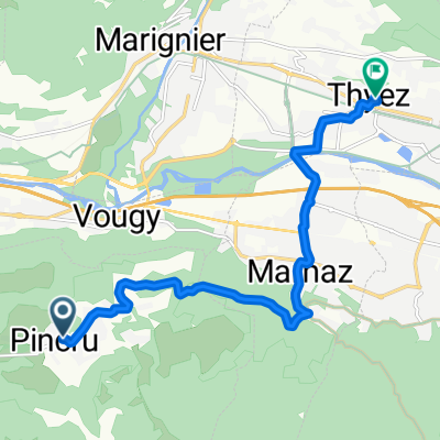
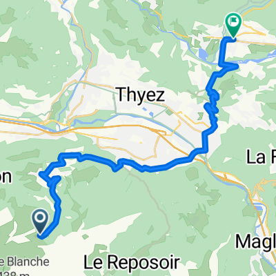 Itinéraire à partir de Voie Communale N°202, Mont-Saxonnex
- Distance
- 24.4 km
- Ascent
- 340 m
- Descent
- 964 m
- Location
- Mont-Saxonnex, Auvergne-Rhône-Alpes, France
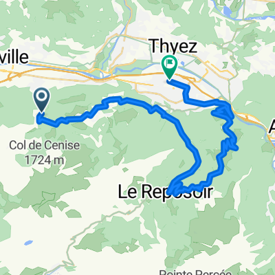
 Le Reposoir-Ugine
- Distance
- 59.8 km
- Ascent
- 1,368 m
- Descent
- 2,222 m
- Location
- Mont-Saxonnex, Auvergne-Rhône-Alpes, France
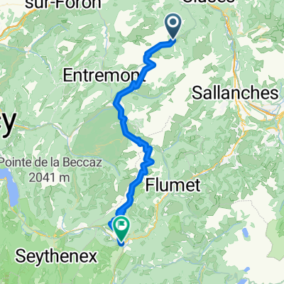
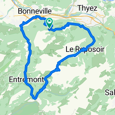
 Col de la Colombiere
- Distance
- 26.5 km
- Ascent
- 851 m
- Descent
- 858 m
- Location
- Mont-Saxonnex, Auvergne-Rhône-Alpes, France
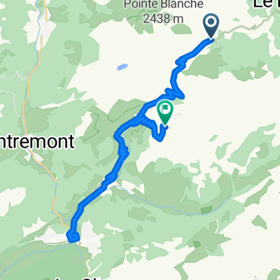
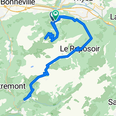
 Itinéraire facile en
- Distance
- 10.2 km
- Ascent
- 43 m
- Descent
- 526 m
- Location
- Mont-Saxonnex, Auvergne-Rhône-Alpes, France
 ersfrgrd
- Distance
- 34.7 km
- Ascent
- 796 m
- Descent
- 1,289 m
- Location
- Mont-Saxonnex, Auvergne-Rhône-Alpes, France
 Col De La Colombiere
- Distance
- 66.2 km
- Ascent
- 1,548 m
- Descent
- 1,549 m
- Location
- Mont-Saxonnex, Auvergne-Rhône-Alpes, France
 Mt Saxonnex - Col de Solaison
- Distance
- 10 km
- Ascent
- 631 m
- Descent
- 84 m
- Location
- Mont-Saxonnex, Auvergne-Rhône-Alpes, France
 Le Grand Bornand
- Distance
- 77.9 km
- Ascent
- 2,482 m
- Descent
- 2,451 m
- Location
- Mont-Saxonnex, Auvergne-Rhône-Alpes, France
Open it in the app