

Carbondale - CB - BV - Carbondale
A cycling route starting in Carbondale, Colorado, United States.
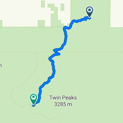
Overview
About this route
Possible 4-day road tour from Cdale to CG, BV, and back to Cdale
- -:--
- Duration
- 382 km
- Distance
- 7,470 m
- Ascent
- 7,471 m
- Descent
- ---
- Avg. speed
- 3,697 m
- Max. altitude

Route quality
Waytypes & surfaces along the route
Waytypes
Road
141.3 km
(37 %)
Cycleway
76.4 km
(20 %)
Surfaces
Paved
317 km
(83 %)
Unpaved
49.7 km
(13 %)
Asphalt
225.4 km
(59 %)
Paved (undefined)
91.7 km
(24 %)
Continue with Bikemap
Use, edit, or download this cycling route
You would like to ride Carbondale - CB - BV - Carbondale or customize it for your own trip? Here is what you can do with this Bikemap route:
Free features
- Save this route as favorite or in collections
- Copy & plan your own version of this route
- Split it into stages to create a multi-day tour
- Sync your route with Garmin or Wahoo
Premium features
Free trial for 3 days, or one-time payment. More about Bikemap Premium.
- Navigate this route on iOS & Android
- Export a GPX / KML file of this route
- Create your custom printout (try it for free)
- Download this route for offline navigation
Discover more Premium features.
Get Bikemap PremiumFrom our community
Other popular routes starting in Carbondale
 Glenwood Springs - Carbondale
- Distance
- 17.4 km
- Ascent
- 726 m
- Descent
- 362 m
- Location
- Carbondale, Colorado, United States
 Carbondale - CB - BV - Carbondale
- Distance
- 382 km
- Ascent
- 7,470 m
- Descent
- 7,471 m
- Location
- Carbondale, Colorado, United States
 Carbondale - New Castle Century
- Distance
- 157.9 km
- Ascent
- 1,579 m
- Descent
- 1,735 m
- Location
- Carbondale, Colorado, United States
 1074–1136 County Road 100, Carbondale to 111 Summit Loop, Carbondale
- Distance
- 14.1 km
- Ascent
- 99 m
- Descent
- 19 m
- Location
- Carbondale, Colorado, United States
 C-dale - Prince Ck - W. Sopris Ck, RGT Loop
- Distance
- 42.7 km
- Ascent
- 597 m
- Descent
- 594 m
- Location
- Carbondale, Colorado, United States
 Carbondale-Middle Thomson Creek-CR 117-Sunlight-Dry Park
- Distance
- 78.5 km
- Ascent
- 1,821 m
- Descent
- 1,821 m
- Location
- Carbondale, Colorado, United States
 ToC2 Day4: Carbondale KOA - Aspen
- Distance
- 56.7 km
- Ascent
- 578 m
- Descent
- 144 m
- Location
- Carbondale, Colorado, United States
 Cattle Creek -Catherine Store Loop
- Distance
- 34.2 km
- Ascent
- 360 m
- Descent
- 361 m
- Location
- Carbondale, Colorado, United States
Open it in the app