

KäS5: Grafenstein-Velden; 75,2km 360hm
A cycling route starting in Gallizien, Carinthia, Austria.
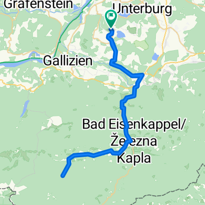
Overview
About this route
Saager - (R1) - Stein - Littermoos - (3 Lakes) - (R1H) Peratschitzen - By the Drau - (R1) - Wölfnitz - (Graf) - Ebenthal - (R6) - Klagenfurt - (R4) - Krumpendorf - Pörtschach - Töschling - Saag - Velden
Bacherlwirt Hotel & Restaurant, Rosentaler Str. 22, 9220 Velden am Wörthersee, Austria
- -:--
- Duration
- 75.2 km
- Distance
- 559 m
- Ascent
- 508 m
- Descent
- ---
- Avg. speed
- 484 m
- Max. altitude

Route quality
Waytypes & surfaces along the route
Waytypes
Cycleway
30.8 km
(41 %)
Quiet road
20.3 km
(27 %)
Surfaces
Paved
49.6 km
(66 %)
Unpaved
11.3 km
(15 %)
Asphalt
45.9 km
(61 %)
Gravel
11.3 km
(15 %)
Route highlights
Points of interest along the route
Point of interest after 10.4 km
Kleinsee
Point of interest after 11 km
Klopeiner See
Point of interest after 16.5 km
Rastplatz
Point of interest after 17.7 km
Rastplatz
Point of interest after 20.8 km
Rastplatz
Point of interest after 21.6 km
Rastplatz

Point of interest after 24.4 km
Burg Neudenstein
Point of interest after 62.5 km
Badeplatz
Point of interest after 71.5 km
Rastplatz

Accommodation after 75.2 km
Bacherlwirt Hotel&Restau Rosentaler Str. 22 9220 Velden am Wörther-see
Continue with Bikemap
Use, edit, or download this cycling route
You would like to ride KäS5: Grafenstein-Velden; 75,2km 360hm or customize it for your own trip? Here is what you can do with this Bikemap route:
Free features
- Save this route as favorite or in collections
- Copy & plan your own version of this route
- Sync your route with Garmin or Wahoo
Premium features
Free trial for 3 days, or one-time payment. More about Bikemap Premium.
- Navigate this route on iOS & Android
- Export a GPX / KML file of this route
- Create your custom printout (try it for free)
- Download this route for offline navigation
Discover more Premium features.
Get Bikemap PremiumFrom our community
Other popular routes starting in Gallizien
 Donnerstag 08.07 29KM 160Hm Annabrücke
- Distance
- 28.7 km
- Ascent
- 128 m
- Descent
- 141 m
- Location
- Gallizien, Carinthia, Austria
 Seebergsatteltour
- Distance
- 29.7 km
- Ascent
- 816 m
- Descent
- 114 m
- Location
- Gallizien, Carinthia, Austria
 Po řece Velach
- Distance
- 33.3 km
- Ascent
- 642 m
- Descent
- 627 m
- Location
- Gallizien, Carinthia, Austria
 Annabrücke - Klopeinersee - Sittersddorf
- Distance
- 38 km
- Ascent
- 210 m
- Descent
- 232 m
- Location
- Gallizien, Carinthia, Austria
 Koschutarunde
- Distance
- 49.3 km
- Ascent
- 640 m
- Descent
- 640 m
- Location
- Gallizien, Carinthia, Austria
 KäS5: Grafenstein-Velden; 75,2km 360hm
- Distance
- 75.2 km
- Ascent
- 559 m
- Descent
- 508 m
- Location
- Gallizien, Carinthia, Austria
 Turnersee Campingplatz naar Vesielacher Straße 12
- Distance
- 62.8 km
- Ascent
- 1,577 m
- Descent
- 1,572 m
- Location
- Gallizien, Carinthia, Austria
 von Unternarrach zur Trögener Klamm und retour
- Distance
- 51.7 km
- Ascent
- 2,706 m
- Descent
- 2,704 m
- Location
- Gallizien, Carinthia, Austria
Open it in the app