Anello agli Stavoli
- 9.6 km
- 548 m
- 554 m
- Prato, Friuli Venezia Giulia, Italy
A cycling route starting in Prato, Friuli Venezia Giulia, Italy.
Overview
Cycling for everyone, about 10 days sleeping in camps.
Route quality
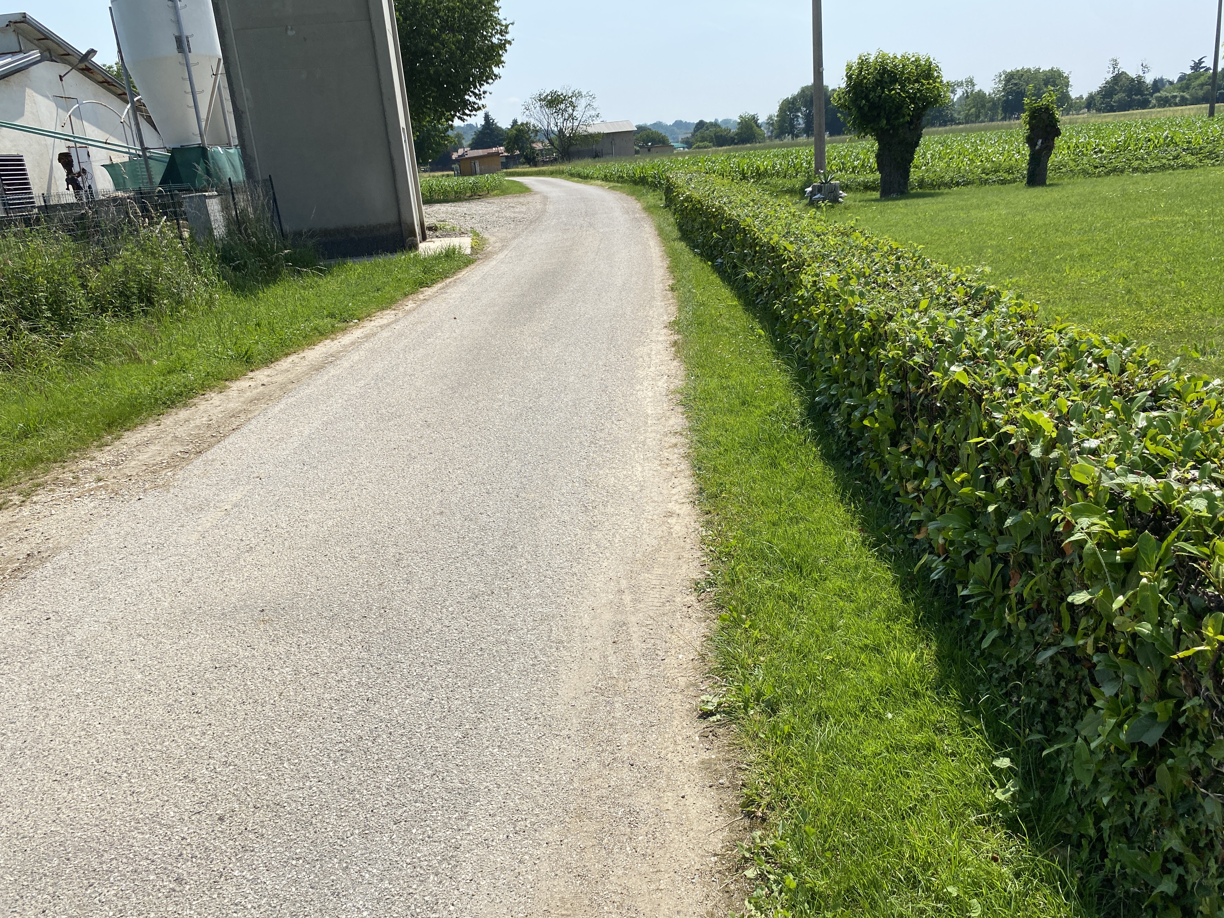
Quiet road
27.6 km
(10 %)
Track
13.8 km
(5 %)
Paved
215.6 km
(78 %)
Unpaved
5.5 km
(2 %)
Asphalt
215.6 km
(78 %)
Gravel
5.5 km
(2 %)
Undefined
55.3 km
(20 %)
Continue with Bikemap
You would like to ride Sella nevea do Novigradu or customize it for your own trip? Here is what you can do with this Bikemap route:
Free trial for 3 days, or one-time payment. More about Bikemap Premium.
Discover more Premium features.
Get Bikemap PremiumFrom our community
Open it in the app