Albertville - Col du Granon
- 208.9 km
- 4,411 m
- 6,449 m
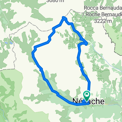
- Villeneuve, Provence-Alpes-Côte d'Azur Region, France
A cycling route starting in Villeneuve, Provence-Alpes-Côte d'Azur Region, France.
Overview
From Route du Bez, 05240 La Salle-les-Alpes, Provence-Alpes-Côte d'Azur, FranceTo Route du Bez, 05240 La Salle-les-Alpes, Provence-Alpes-Côte d'Azur, FranceRoad Cycling Routing - shortest
created this 3 years ago
Route quality
Quiet road
10 km
(10 %)
Road
3 km
(3 %)
Paved
78.7 km
(79 %)
Unpaved
1 km
(1 %)
Asphalt
78.7 km
(79 %)
Unpaved (undefined)
1 km
(1 %)
Undefined
19.9 km
(20 %)
Continue with Bikemap
You would like to ride za-col d'Izoard-100 km-A weg or customize it for your own trip? Here is what you can do with this Bikemap route:
Free trial for 3 days, or one-time payment. More about Bikemap Premium.
Discover more Premium features.
Get Bikemap PremiumFrom our community
Open it in the app


![[Itinéraire] La Cascade de Fontcouverte](https://media.bikemap.net/routes/11457303/staticmaps/in_251c0c45-6d3a-43cb-a870-71637301c35e_400x400_bikemap-2021-3D-static.png)