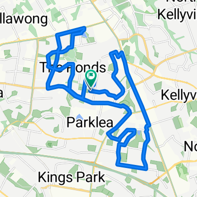
Kidman Street 19, Glenwood to Kidman Street 17, Glenwood
A cycling route starting in Stanhope Gardens, New South Wales, Australia.
Overview
About this route
- 3 h 48 min
- Duration
- 11.1 km
- Distance
- 101 m
- Ascent
- 101 m
- Descent
- 2.9 km/h
- Avg. speed
- 124 m
- Max. altitude
Route photos
Continue with Bikemap
Use, edit, or download this cycling route
You would like to ride Kidman Street 19, Glenwood to Kidman Street 17, Glenwood or customize it for your own trip? Here is what you can do with this Bikemap route:
Free features
- Save this route as favorite or in collections
- Copy & plan your own version of this route
- Sync your route with Garmin or Wahoo
Premium features
Free trial for 3 days, or one-time payment. More about Bikemap Premium.
- Navigate this route on iOS & Android
- Export a GPX / KML file of this route
- Create your custom printout (try it for free)
- Download this route for offline navigation
Discover more Premium features.
Get Bikemap PremiumFrom our community
Other popular routes starting in Stanhope Gardens
Glenwood- Distance
- 11.3 km
- Ascent
- 72 m
- Descent
- 96 m
- Location
- Stanhope Gardens, New South Wales, Australia
Bella Vista-Sunnyholt-M7-Norwest-Kellyville Loop- Distance
- 18.3 km
- Ascent
- 190 m
- Descent
- 193 m
- Location
- Stanhope Gardens, New South Wales, Australia
Restful route in Stanhope Gardens- Distance
- 21.3 km
- Ascent
- 149 m
- Descent
- 152 m
- Location
- Stanhope Gardens, New South Wales, Australia
Bridgeview Circuit 30, Bella Vista to Westlink M7, Horsley Park- Distance
- 24.8 km
- Ascent
- 155 m
- Descent
- 156 m
- Location
- Stanhope Gardens, New South Wales, Australia
Kidman Street 19, Glenwood to Kidman Street 17, Glenwood- Distance
- 11.1 km
- Ascent
- 101 m
- Descent
- 101 m
- Location
- Stanhope Gardens, New South Wales, Australia
27.1Km cycle- Distance
- 27.2 km
- Ascent
- 124 m
- Descent
- 123 m
- Location
- Stanhope Gardens, New South Wales, Australia
Norwest to Blacktown loop 1- Distance
- 29.7 km
- Ascent
- 293 m
- Descent
- 289 m
- Location
- Stanhope Gardens, New South Wales, Australia
Route to 29 Pennant Way, Castle Hill- Distance
- 131.9 km
- Ascent
- 124 m
- Descent
- 103 m
- Location
- Stanhope Gardens, New South Wales, Australia
Open it in the app


