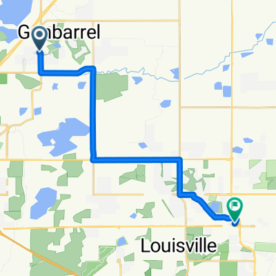
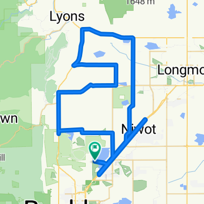
Part 1 Cycle
A cycling route starting in Gunbarrel, Colorado, United States of America.
Overview
About this route
- -:--
- Duration
- 45.4 km
- Distance
- 426 m
- Ascent
- 415 m
- Descent
- ---
- Avg. speed
- 1,658 m
- Avg. speed
Route quality
Waytypes & surfaces along the route
Waytypes
Path
16 km
(35 %)
Cycleway
13 km
(29 %)
Surfaces
Paved
23.8 km
(52 %)
Unpaved
8 km
(18 %)
Asphalt
13.9 km
(31 %)
Concrete
9.3 km
(21 %)
Continue with Bikemap
Use, edit, or download this cycling route
You would like to ride Part 1 Cycle or customize it for your own trip? Here is what you can do with this Bikemap route:
Free features
- Save this route as favorite or in collections
- Copy & plan your own version of this route
- Sync your route with Garmin or Wahoo
Premium features
Free trial for 3 days, or one-time payment. More about Bikemap Premium.
- Navigate this route on iOS & Android
- Export a GPX / KML file of this route
- Create your custom printout (try it for free)
- Download this route for offline navigation
Discover more Premium features.
Get Bikemap PremiumFrom our community
Other popular routes starting in Gunbarrel
- Boulder Reservoir
- Distance
- 41.9 km
- Ascent
- 272 m
- Descent
- 272 m
- Location
- Gunbarrel, Colorado, United States of America
- Boulder IM Estimate
- Distance
- 63.5 km
- Ascent
- 552 m
- Descent
- 550 m
- Location
- Gunbarrel, Colorado, United States of America
- Carter lake
- Distance
- 91.3 km
- Ascent
- 454 m
- Descent
- 454 m
- Location
- Gunbarrel, Colorado, United States of America
- 4733 White Rock Cir, Boulder to 4729 Spine Rd, Boulder
- Distance
- 15.3 km
- Ascent
- 78 m
- Descent
- 79 m
- Location
- Gunbarrel, Colorado, United States of America
- Gunbarrel to Teller Ranch, Boulder CO
- Distance
- 15.1 km
- Ascent
- 187 m
- Descent
- 198 m
- Location
- Gunbarrel, Colorado, United States of America
- Avery Brewery to Left Hand Creek Park
- Distance
- 14.3 km
- Ascent
- 55 m
- Descent
- 114 m
- Location
- Gunbarrel, Colorado, United States of America
- Part 1 Cycle
- Distance
- 45.4 km
- Ascent
- 426 m
- Descent
- 415 m
- Location
- Gunbarrel, Colorado, United States of America
- 63rd - Nelson - 75th
- Distance
- 23 km
- Ascent
- 99 m
- Descent
- 100 m
- Location
- Gunbarrel, Colorado, United States of America
Open it in the app