

200 km RTF beim Lausitzer Seenland 100 am 10.07.2011
A cycling route starting in Sallgast, Brandenburg, Germany.
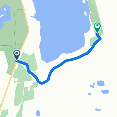
Overview
About this route
Suitable for road bikes except for a few places.
- Crossing a stream.
- several cobblestone sections.
- gravel paths.
- bike paths with roots.
Riding in a group with some very ambitious friends, the route was completed quickly. Ride time = 6h10min
- -:--
- Duration
- 202.1 km
- Distance
- 194 m
- Ascent
- 194 m
- Descent
- ---
- Avg. speed
- ---
- Max. altitude

Route quality
Waytypes & surfaces along the route
Waytypes
Quiet road
42.4 km
(21 %)
Cycleway
36.4 km
(18 %)
Surfaces
Paved
159.6 km
(79 %)
Unpaved
10.1 km
(5 %)
Asphalt
151.6 km
(75 %)
Paved (undefined)
6.1 km
(3 %)
Continue with Bikemap
Use, edit, or download this cycling route
You would like to ride 200 km RTF beim Lausitzer Seenland 100 am 10.07.2011 or customize it for your own trip? Here is what you can do with this Bikemap route:
Free features
- Save this route as favorite or in collections
- Copy & plan your own version of this route
- Split it into stages to create a multi-day tour
- Sync your route with Garmin or Wahoo
Premium features
Free trial for 3 days, or one-time payment. More about Bikemap Premium.
- Navigate this route on iOS & Android
- Export a GPX / KML file of this route
- Create your custom printout (try it for free)
- Download this route for offline navigation
Discover more Premium features.
Get Bikemap PremiumFrom our community
Other popular routes starting in Sallgast
 NSG und Schaubagger
- Distance
- 17.8 km
- Ascent
- 205 m
- Descent
- 212 m
- Location
- Sallgast, Brandenburg, Germany
 Bergheider See zum Ayers Rock
- Distance
- 6.9 km
- Ascent
- 113 m
- Descent
- 113 m
- Location
- Sallgast, Brandenburg, Germany
 im NSG zum Bäcker u.z.
- Distance
- 24 km
- Ascent
- 267 m
- Descent
- 268 m
- Location
- Sallgast, Brandenburg, Germany
 N.O.A.Team Biwak
- Distance
- 2.1 km
- Ascent
- 8 m
- Descent
- 30 m
- Location
- Sallgast, Brandenburg, Germany
 Tour de Görlitz 2011 Dollenchen - Görlitz (6.Etappe)
- Distance
- 126.6 km
- Ascent
- 354 m
- Descent
- 217 m
- Location
- Sallgast, Brandenburg, Germany
 Südufer
- Distance
- 3 km
- Ascent
- 22 m
- Descent
- 16 m
- Location
- Sallgast, Brandenburg, Germany
 Tour 2
- Distance
- 17.3 km
- Ascent
- 81 m
- Descent
- 78 m
- Location
- Sallgast, Brandenburg, Germany
 30 Kilometer Übersichtsfahrt - Bergbau Folgelandschaft
- Distance
- 29.2 km
- Ascent
- 113 m
- Descent
- 113 m
- Location
- Sallgast, Brandenburg, Germany
Open it in the app