Rund um Mannheim 2
- 84.3 km
- 111 m
- 123 m
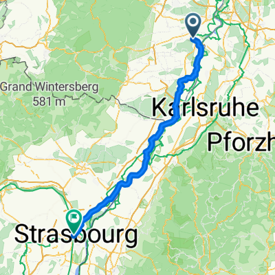
- Lingenfeld, Rhineland-Palatinate, Germany
A cycling route starting in Lingenfeld, Rhineland-Palatinate, Germany.
Overview
Downhill route: Neustadt a.d. Weinstraße - Hambach (Castle) - Maikammer (Cafe Bellini) - Edenkoben
Route (uphill): Edenkoben - Maikammer - ...
created this 3 years ago
Route quality
Road
37.5 km
(60 %)
Track
6.9 km
(11 %)
Paved
55.6 km
(89 %)
Asphalt
55 km
(88 %)
Paved (undefined)
0.6 km
(1 %)
Undefined
6.9 km
(11 %)
Continue with Bikemap
You would like to ride Pfalztour I or customize it for your own trip? Here is what you can do with this Bikemap route:
Free trial for 3 days, or one-time payment. More about Bikemap Premium.
Discover more Premium features.
Get Bikemap PremiumFrom our community
Open it in the app