

Ruta constante en
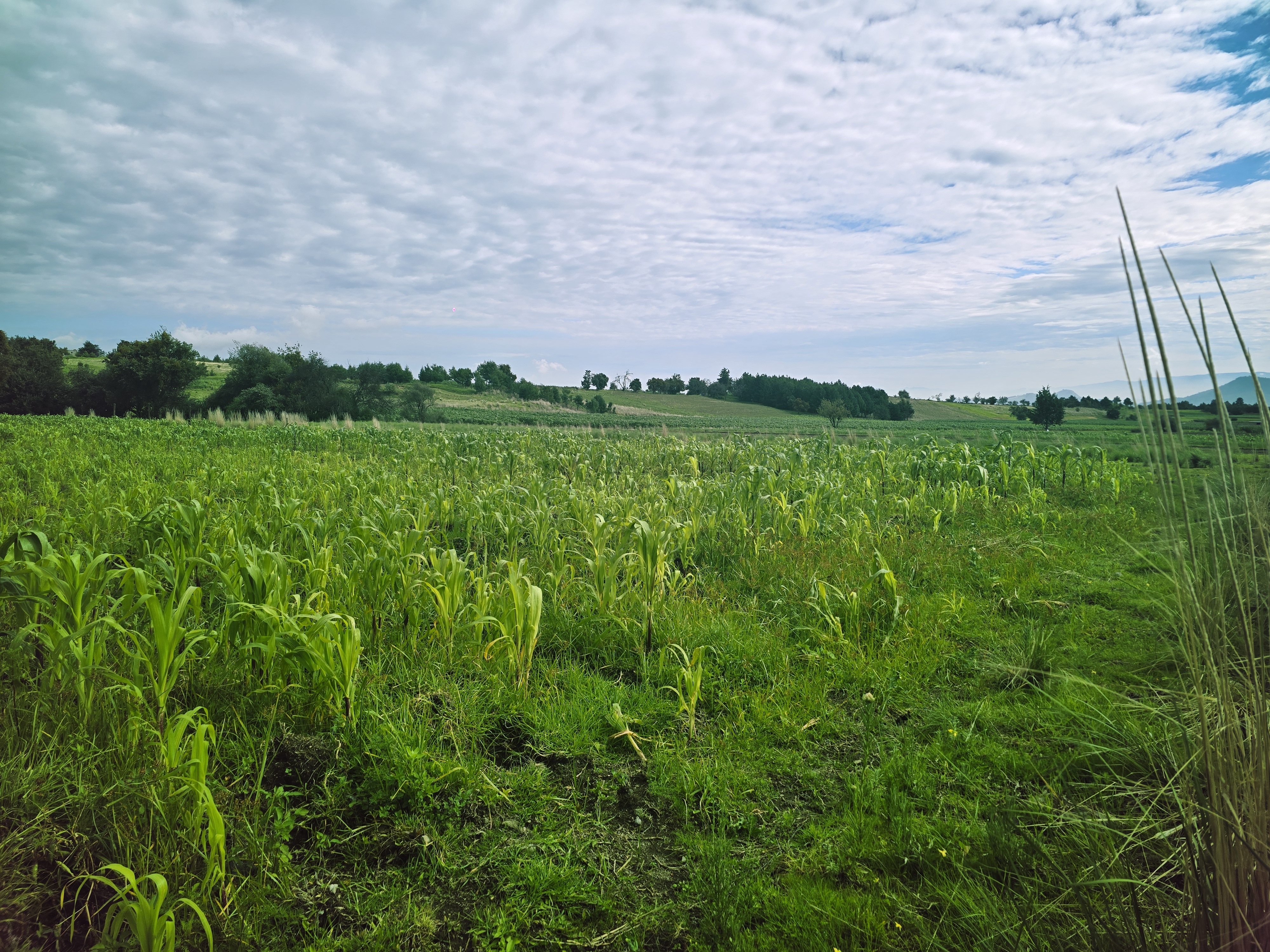
A cycling route starting in Cacalomacan, State of Mexico, Mexico.
Overview
About this route
- 23 min
- Duration
- 2.6 km
- Distance
- 148 m
- Ascent
- 51 m
- Descent
- 6.9 km/h
- Avg. speed
- 2,877 m
- Max. altitude

Continue with Bikemap
Use, edit, or download this cycling route
You would like to ride Ruta constante en or customize it for your own trip? Here is what you can do with this Bikemap route:
Free features
- Save this route as favorite or in collections
- Copy & plan your own version of this route
- Sync your route with Garmin or Wahoo
Premium features
Free trial for 3 days, or one-time payment. More about Bikemap Premium.
- Navigate this route on iOS & Android
- Export a GPX / KML file of this route
- Create your custom printout (try it for free)
- Download this route for offline navigation
Discover more Premium features.
Get Bikemap PremiumFrom our community
Other popular routes starting in Cacalomacan
 De Privada Tierra Colorada 63, Cacalomacán a Privada Tierra Colorada 63, Cacalomacán
- Distance
- 38.7 km
- Ascent
- 274 m
- Descent
- 275 m
- Location
- Cacalomacan, State of Mexico, Mexico
 Ruta desde Ä#?Ú?
- Distance
- 20.5 km
- Ascent
- 401 m
- Descent
- 459 m
- Location
- Cacalomacan, State of Mexico, Mexico
 De San Miguel 320, Cacalomacán a Laguna de Los Gigantes 1104, Toluca de Lerdo
- Distance
- 5.2 km
- Ascent
- 0 m
- Descent
- 70 m
- Location
- Cacalomacan, State of Mexico, Mexico
 De Miguel Hidalgo 12, Cacalomacán a Miguel Hidalgo 156, Cacalomacán
- Distance
- 24.1 km
- Ascent
- 569 m
- Descent
- 570 m
- Location
- Cacalomacan, State of Mexico, Mexico
 De De Los Corredores a Circuito Vial Acahualco
- Distance
- 73.6 km
- Ascent
- 1,402 m
- Descent
- 1,393 m
- Location
- Cacalomacan, State of Mexico, Mexico
 De Privada Tierra Colorada 63, Cacalomacán a Privada Tierra Colorada 63, Cacalomacán
- Distance
- 32.5 km
- Ascent
- 389 m
- Descent
- 395 m
- Location
- Cacalomacan, State of Mexico, Mexico
 De Avenida de los Cuervos, Toluca a Calle Águilas, Toluca
- Distance
- 20.3 km
- Ascent
- 862 m
- Descent
- 860 m
- Location
- Cacalomacan, State of Mexico, Mexico
 De Calle Tierra Colorada 103, Cacalomacán a Privada Tierra Colorada 63, Cacalomacán
- Distance
- 35.9 km
- Ascent
- 214 m
- Descent
- 226 m
- Location
- Cacalomacan, State of Mexico, Mexico
Open it in the app