

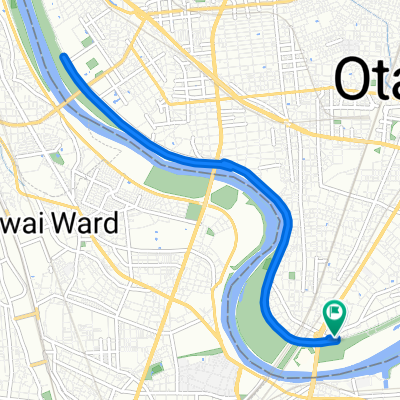
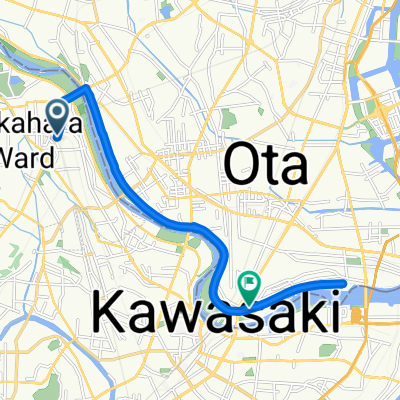
6丁目 10, 品川区 to 7, 中央区
A cycling route starting in Kawasaki, Kanagawa, Japan.
Overview
About this route
- 3 h 21 min
- Duration
- 24.4 km
- Distance
- 403 m
- Ascent
- 409 m
- Descent
- 7.3 km/h
- Avg. speed
- 75 m
- Max. altitude

Continue with Bikemap
Use, edit, or download this cycling route
You would like to ride 6丁目 10, 品川区 to 7, 中央区 or customize it for your own trip? Here is what you can do with this Bikemap route:
Free features
- Save this route as favorite or in collections
- Copy & plan your own version of this route
- Sync your route with Garmin or Wahoo
Premium features
Free trial for 3 days, or one-time payment. More about Bikemap Premium.
- Navigate this route on iOS & Android
- Export a GPX / KML file of this route
- Create your custom printout (try it for free)
- Download this route for offline navigation
Discover more Premium features.
Get Bikemap PremiumFrom our community
Other popular routes starting in Kawasaki
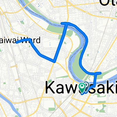
 鶴見川源流の泉
- Distance
- 35.8 km
- Ascent
- 200 m
- Descent
- 171 m
- Location
- Kawasaki, Kanagawa, Japan
 南六郷3丁目, 大田区へ南六郷3丁目, 大田区
- Distance
- 11.3 km
- Ascent
- 14 m
- Descent
- 16 m
- Location
- Kawasaki, Kanagawa, Japan
 南六郷3丁目, 大田区へ南六郷3丁目, 大田区
- Distance
- 12.7 km
- Ascent
- 40 m
- Descent
- 42 m
- Location
- Kawasaki, Kanagawa, Japan
 南六郷3丁目, 大田区へ南六郷3丁目, 大田区
- Distance
- 10.4 km
- Ascent
- 35 m
- Descent
- 37 m
- Location
- Kawasaki, Kanagawa, Japan
 新丸子東3丁目, 川崎市へ南六郷3丁目, 大田区
- Distance
- 14.2 km
- Ascent
- 22 m
- Descent
- 26 m
- Location
- Kawasaki, Kanagawa, Japan
 宮本町, 川崎市へ本町1丁目, 川崎市
- Distance
- 16.2 km
- Ascent
- 50 m
- Descent
- 51 m
- Location
- Kawasaki, Kanagawa, Japan
 5丁目 まで4丁目
- Distance
- 11.9 km
- Ascent
- 71 m
- Descent
- 85 m
- Location
- Kawasaki, Kanagawa, Japan
 南六郷3丁目, 大田区へ南六郷3丁目, 大田区
- Distance
- 9.3 km
- Ascent
- 26 m
- Descent
- 25 m
- Location
- Kawasaki, Kanagawa, Japan
Open it in the app