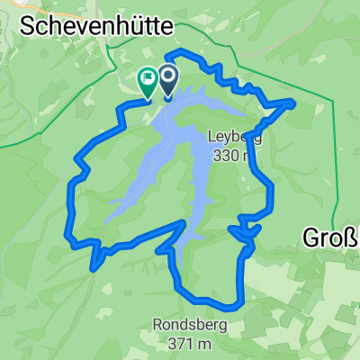
Hotel Kallbach Rundfahrt 30km mit Restaurant
- 29.5 km
- 564 m
- 569 m
- Hürtgenwald, North Rhine-Westphalia, Germany
A cycling route starting in Hürtgenwald, North Rhine-Westphalia, Germany.
Overview
In de herfst en winter van 1944 en 1945 vond in het Hürtgenwoud de langste veldslag van de oorlog op Duitse bodem plaats. De Geallieerden trokken het ruwe en onbekende terrein in om hun opmars naar de Rijn veilig te stellen, en stuitten op een door hen onderschatte tegenstand van de Duitse strijdkrachten.
Route quality
Track
110 km
(82 %)
Path
8 km
(6 %)
Paved
16.1 km
(12 %)
Unpaved
103.3 km
(77 %)
Gravel
57.7 km
(43 %)
Ground
33.5 km
(25 %)
Continue with Bikemap
You would like to ride De Slag om het Hürtgenwoud or customize it for your own trip? Here is what you can do with this Bikemap route:
Free trial for 3 days, or one-time payment. More about Bikemap Premium.
Discover more Premium features.
Get Bikemap PremiumFrom our community
Open it in the app