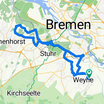
Hasbergen 2025 Import
- 52.1 km
- 25 m
- 28 m
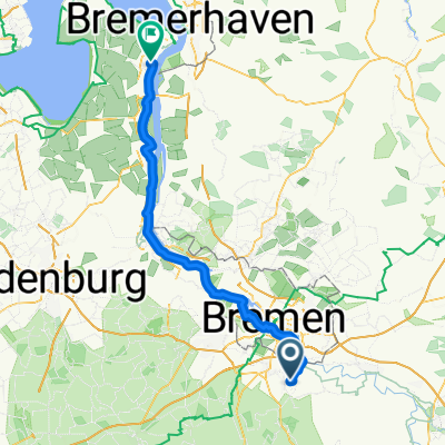
- Riede, Lower Saxony, Germany
A cycling route starting in Riede, Lower Saxony, Germany.
Overview
created this 3 years ago
Route quality
Quiet road
91.8 km
(72 %)
Path
11.5 km
(9 %)
Paved
98.1 km
(77 %)
Unpaved
11.5 km
(9 %)
Asphalt
96.9 km
(76 %)
Gravel
7.6 km
(6 %)
Continue with Bikemap
You would like to ride Radfernweg Bremen - Bad Oeynhausen (ab Weyhe) or customize it for your own trip? Here is what you can do with this Bikemap route:
Free trial for 3 days, or one-time payment. More about Bikemap Premium.
Discover more Premium features.
Get Bikemap PremiumFrom our community
Open it in the app