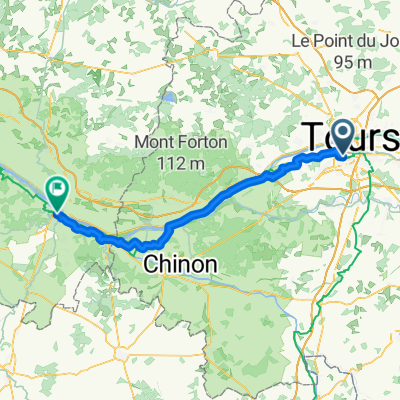
30km sud-est
A cycling route starting in Joué-lès-Tours, Centre-Val de Loire, France.
Overview
About this route
- 1 h 56 min
- Duration
- 30.3 km
- Distance
- 150 m
- Ascent
- 149 m
- Descent
- 15.7 km/h
- Avg. speed
- 105 m
- Max. altitude
Route quality
Waytypes & surfaces along the route
Waytypes
Quiet road
9.1 km
(30 %)
Road
6.4 km
(21 %)
Surfaces
Paved
19.4 km
(64 %)
Unpaved
3.3 km
(11 %)
Asphalt
19.4 km
(64 %)
Gravel
3.3 km
(11 %)
Undefined
7.6 km
(25 %)
Continue with Bikemap
Use, edit, or download this cycling route
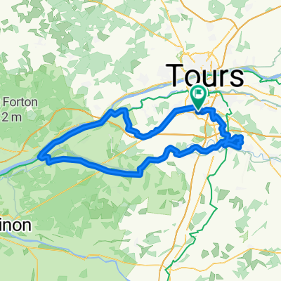
You would like to ride 30km sud-est or customize it for your own trip? Here is what you can do with this Bikemap route:
Free features
- Save this route as favorite or in collections
- Copy & plan your own version of this route
- Sync your route with Garmin or Wahoo
Premium features
Free trial for 3 days, or one-time payment. More about Bikemap Premium.
- Navigate this route on iOS & Android
- Export a GPX / KML file of this route
- Create your custom printout (try it for free)
- Download this route for offline navigation
Discover more Premium features.
Get Bikemap PremiumFrom our community
Other popular routes starting in Joué-lès-Tours
- ride through Tours
- Distance
- 10.5 km
- Ascent
- 52 m
- Descent
- 52 m
- Location
- Joué-lès-Tours, Centre-Val de Loire, France
- Variante levée du Cher courte
- Distance
- 28 km
- Ascent
- 59 m
- Descent
- 59 m
- Location
- Joué-lès-Tours, Centre-Val de Loire, France
- 30km sud-est
- Distance
- 30.3 km
- Ascent
- 150 m
- Descent
- 149 m
- Location
- Joué-lès-Tours, Centre-Val de Loire, France
- Druye Villandry Savo
- Distance
- 48 km
- Ascent
- 119 m
- Descent
- 138 m
- Location
- Joué-lès-Tours, Centre-Val de Loire, France
- 1ere balade
- Distance
- 11.7 km
- Ascent
- 66 m
- Descent
- 66 m
- Location
- Joué-lès-Tours, Centre-Val de Loire, France
- Étangs de Narbonne
- Distance
- 31.4 km
- Ascent
- 81 m
- Descent
- 109 m
- Location
- Joué-lès-Tours, Centre-Val de Loire, France
- Levée du Cher
- Distance
- 41.9 km
- Ascent
- 107 m
- Descent
- 106 m
- Location
- Joué-lès-Tours, Centre-Val de Loire, France
- Grande boucle JLT - Azay
- Distance
- 56.9 km
- Ascent
- 295 m
- Descent
- 294 m
- Location
- Joué-lès-Tours, Centre-Val de Loire, France
Open it in the app