

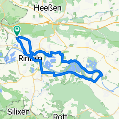
Wiemerrunde
A cycling route starting in Rinteln, Lower Saxony, Germany.
Overview
About this route
- -:--
- Duration
- 47.6 km
- Distance
- 378 m
- Ascent
- 380 m
- Descent
- ---
- Avg. speed
- ---
- Max. altitude

Route quality
Waytypes & surfaces along the route
Waytypes
Road
11.4 km
(24 %)
Track
10 km
(21 %)
Surfaces
Paved
34.7 km
(73 %)
Unpaved
9 km
(19 %)
Asphalt
33.3 km
(70 %)
Gravel
7.1 km
(15 %)
Continue with Bikemap
Use, edit, or download this cycling route
You would like to ride Wiemerrunde or customize it for your own trip? Here is what you can do with this Bikemap route:
Free features
- Save this route as favorite or in collections
- Copy & plan your own version of this route
- Sync your route with Garmin or Wahoo
Premium features
Free trial for 3 days, or one-time payment. More about Bikemap Premium.
- Navigate this route on iOS & Android
- Export a GPX / KML file of this route
- Create your custom printout (try it for free)
- Download this route for offline navigation
Discover more Premium features.
Get Bikemap PremiumFrom our community
Other popular routes starting in Rinteln
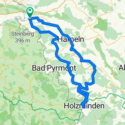 Bahnhofstraße, Rinteln nach Am Weseranger, Rinteln
- Distance
- 154.9 km
- Ascent
- 1,143 m
- Descent
- 1,152 m
- Location
- Rinteln, Lower Saxony, Germany
 Wiemerrunde
- Distance
- 47.6 km
- Ascent
- 378 m
- Descent
- 380 m
- Location
- Rinteln, Lower Saxony, Germany
 Rinteln - Landesbergen
- Distance
- 81.1 km
- Ascent
- 58 m
- Descent
- 83 m
- Location
- Rinteln, Lower Saxony, Germany
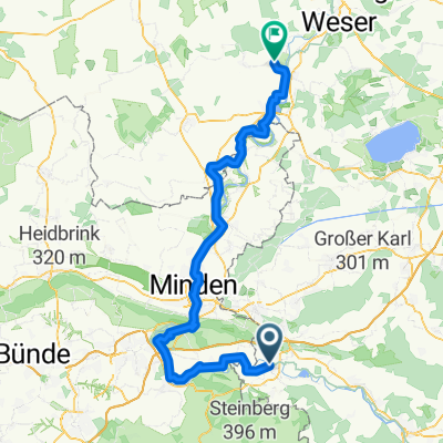
 Weserstraße 66, Porta Westfalica nach Lammerbach 7, Porta Westfalica
- Distance
- 14.6 km
- Ascent
- 7 m
- Descent
- 74 m
- Location
- Rinteln, Lower Saxony, Germany
 Hauptstraße, Rinteln nach Hauptstraße, Rinteln
- Distance
- 26.9 km
- Ascent
- 113 m
- Descent
- 112 m
- Location
- Rinteln, Lower Saxony, Germany
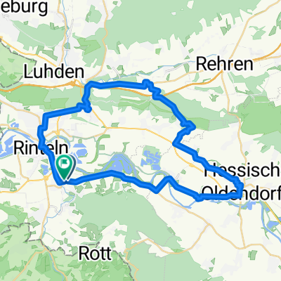 Über H O, Schaumburg zurück
- Distance
- 37.6 km
- Ascent
- 399 m
- Descent
- 400 m
- Location
- Rinteln, Lower Saxony, Germany
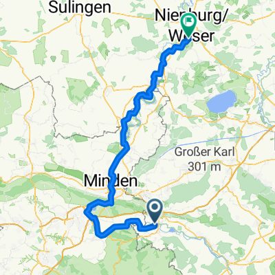 Rinteln - Nienburg/Weser
- Distance
- 98.5 km
- Ascent
- 207 m
- Descent
- 238 m
- Location
- Rinteln, Lower Saxony, Germany
 First Flight 2011 / BSG
- Distance
- 96.8 km
- Ascent
- 1,000 m
- Descent
- 1,002 m
- Location
- Rinteln, Lower Saxony, Germany
Open it in the app