Podbreziny-ustie Žiar dol.-lúky-Konská-Benadiková-Podbreziny CLONED FROM ROUTE 975951
A cycling route starting in Liptovský Mikuláš, Žilina Region, Slovakia.
Overview
About this route
The route leads from L.Mikuĺáš-Podbreziny through Žiar - the mouth of the Žiar valley towards the Baranec hut. After about 500 m, we turn onto a forest road that takes us all the way to the meadows. With a slight left turn, we descend to a former shepherd's hut. We continue downhill on a meadow and field path. The road takes us just above the village of Konská. We turn left because going right would take us to an agricultural cooperative. It's a fairly steep descent where our backside is higher than our nose. Once again, we turn left on a steep descent and at a small bridge we go right with a gentle climb. After 200-300 m, the climb ends and it's only downhill through Benadikuvá all the way to the main road E-18 towards Mikuláš. On flat terrain, we return to the starting point. The surface of the route is mostly asphalt, except for a passage through a meadow where part of the ride is on grass and part on gravel. There is also a short descent through the forest about 300 m long. In my opinion, the route is suitable for the whole family from 10 to 67 years old.
- -:--
- Duration
- 24 km
- Distance
- 374 m
- Ascent
- 379 m
- Descent
- ---
- Avg. speed
- ---
- Max. altitude
Route quality
Waytypes & surfaces along the route
Waytypes
Road
15.9 km
(66 %)
Track
5.3 km
(22 %)
Surfaces
Paved
13.7 km
(57 %)
Unpaved
4.6 km
(19 %)
Asphalt
13 km
(54 %)
Unpaved (undefined)
4.3 km
(18 %)
Route highlights
Points of interest along the route
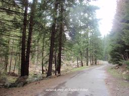
Photo after 9.2 km

Photo after 9.4 km
SMEROVNÍK
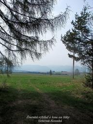
Photo after 10.1 km
Výjazd z lesa
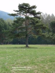
Photo after 10.2 km
oSAMELÁ BOROVICA.

Photo after 10.4 km
Pohľad na ZAP.TATRY.
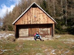
Photo after 10.7 km
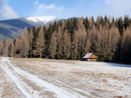
Photo after 11.2 km
Náš motorest

Photo after 12.2 km
Pohľad na chatu Baranec dialke
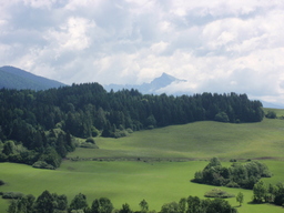
Photo after 12.5 km
Vzdialený KRIVÁN
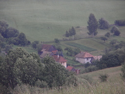
Photo after 13.2 km
KONSKÁ pod nohama
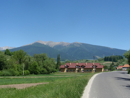
Photo after 17.2 km
Koniec - LIP:ONDREJ
Continue with Bikemap
Use, edit, or download this cycling route
You would like to ride Podbreziny-ustie Žiar dol.-lúky-Konská-Benadiková-Podbreziny CLONED FROM ROUTE 975951 or customize it for your own trip? Here is what you can do with this Bikemap route:
Free features
- Save this route as favorite or in collections
- Copy & plan your own version of this route
- Sync your route with Garmin or Wahoo
Premium features
Free trial for 3 days, or one-time payment. More about Bikemap Premium.
- Navigate this route on iOS & Android
- Export a GPX / KML file of this route
- Create your custom printout (try it for free)
- Download this route for offline navigation
Discover more Premium features.
Get Bikemap PremiumFrom our community
Other popular routes starting in Liptovský Mikuláš
 LM-2018-05-07
- Distance
- 29.6 km
- Ascent
- 537 m
- Descent
- 537 m
- Location
- Liptovský Mikuláš, Žilina Region, Slovakia
 LM- Podtureň- Jamník- Pribilina
- Distance
- 23 km
- Ascent
- 3,715 m
- Descent
- 3,498 m
- Location
- Liptovský Mikuláš, Žilina Region, Slovakia
 Liptovský Mikuláš,Čierny Váh a späť.
- Distance
- 77.7 km
- Ascent
- 1,037 m
- Descent
- 1,085 m
- Location
- Liptovský Mikuláš, Žilina Region, Slovakia
 Pavčina Lehota do Pavčina Lehota
- Distance
- 49 km
- Ascent
- 510 m
- Descent
- 552 m
- Location
- Liptovský Mikuláš, Žilina Region, Slovakia
 LM- Lipt. Hrádok - Kráľova Lehota- Malužiná
- Distance
- 28.6 km
- Ascent
- 676 m
- Descent
- 508 m
- Location
- Liptovský Mikuláš, Žilina Region, Slovakia
 Podbreziny-ustie Žiar dol.-lúky-Konská-Benadiková-Podbreziny CLONED FROM ROUTE 975951
- Distance
- 24 km
- Ascent
- 374 m
- Descent
- 379 m
- Location
- Liptovský Mikuláš, Žilina Region, Slovakia
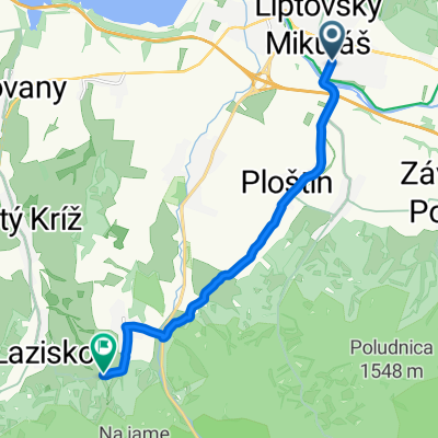 LM- Ploštín- Demän.Dolina- Pavčina Lehota
- Distance
- 8.6 km
- Ascent
- 355 m
- Descent
- 139 m
- Location
- Liptovský Mikuláš, Žilina Region, Slovakia
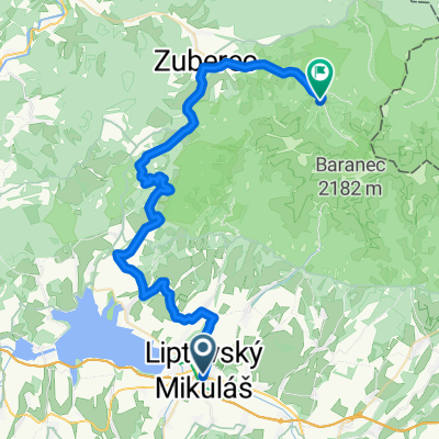 LM- Bobrovec- Biela Skala- Zuberec- Zverovka /Spálená
- Distance
- 44.6 km
- Ascent
- 1,440 m
- Descent
- 972 m
- Location
- Liptovský Mikuláš, Žilina Region, Slovakia
Open it in the app

