B5106, Betws-Y-Coed to 12 The Red Lion, Denbigh St, Llanrwst
- 5.9 km
- 57 m
- 71 m
- Betws-y-Coed, Wales, United Kingdom
A cycling route starting in Betws-y-Coed, Wales, United Kingdom.
Overview
created this 3 years ago
Route quality
Quiet road
32.6 km
24 %
Cycleway
17.7 km
13 %
Paved
82.9 km
(61 %)
Unpaved
4.1 km
(3 %)
Asphalt
81.6 km
60 %
Gravel
4.1 km
3 %
Continue with Bikemap
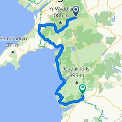
You would like to ride A4086, Capel Curig, Betws-Y-Coed to A487, Pantperthog, Machynlleth or customize it for your own trip? Here is what you can do with this Bikemap route:
Free trial for 3 days, or one-time payment. More about Bikemap Premium.
Discover more Premium features.
Get Bikemap PremiumFrom our community
Open it in the app