

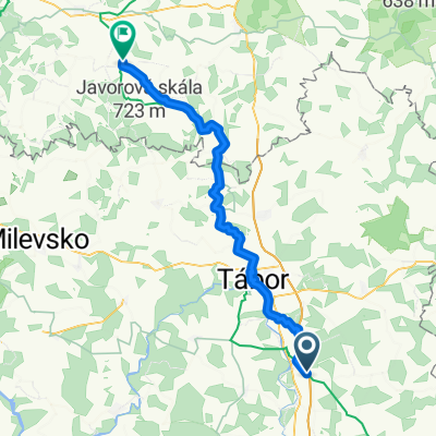
Sinfo Tour
A cycling route starting in Planá nad Lužnicí, Jihočeský kraj, Czechia.
Overview
About this route
- -:--
- Duration
- 36.6 km
- Distance
- 273 m
- Ascent
- 273 m
- Descent
- ---
- Avg. speed
- ---
- Max. altitude
Route quality
Waytypes & surfaces along the route
Waytypes
Road
11 km
(30 %)
Quiet road
9.9 km
(27 %)
Surfaces
Paved
17.9 km
(49 %)
Unpaved
2.6 km
(7 %)
Asphalt
16.1 km
(44 %)
Paved (undefined)
1.8 km
(5 %)
Route highlights
Points of interest along the route

Point of interest after 6.8 km
Sraz všech účastníků

Point of interest after 19.9 km
Cíl cesty
Continue with Bikemap
Use, edit, or download this cycling route
You would like to ride Sinfo Tour or customize it for your own trip? Here is what you can do with this Bikemap route:
Free features
- Save this route as favorite or in collections
- Copy & plan your own version of this route
- Sync your route with Garmin or Wahoo
Premium features
Free trial for 3 days, or one-time payment. More about Bikemap Premium.
- Navigate this route on iOS & Android
- Export a GPX / KML file of this route
- Create your custom printout (try it for free)
- Download this route for offline navigation
Discover more Premium features.
Get Bikemap PremiumFrom our community
Other popular routes starting in Planá nad Lužnicí
 Sinfo Tour
- Distance
- 36.6 km
- Ascent
- 273 m
- Descent
- 273 m
- Location
- Planá nad Lužnicí, Jihočeský kraj, Czechia
 Planá nad Lužnicí - Kosova Hora
- Distance
- 50.7 km
- Ascent
- 580 m
- Descent
- 600 m
- Location
- Planá nad Lužnicí, Jihočeský kraj, Czechia
 Planá n Lužnicí tour papacery01
- Distance
- 22.6 km
- Ascent
- 294 m
- Descent
- 294 m
- Location
- Planá nad Lužnicí, Jihočeský kraj, Czechia
 Planá nad Lužnicí - Nová Bystřice
- Distance
- 84.8 km
- Ascent
- 1,080 m
- Descent
- 971 m
- Location
- Planá nad Lužnicí, Jihočeský kraj, Czechia
 Planá, Strkov-Želeč-Roudná-Planá, Strkov
- Distance
- 21.8 km
- Ascent
- 206 m
- Descent
- 215 m
- Location
- Planá nad Lužnicí, Jihočeský kraj, Czechia
 Do Bechyně přes Stádlecký řetízák
- Distance
- 55.5 km
- Ascent
- 428 m
- Descent
- 428 m
- Location
- Planá nad Lužnicí, Jihočeský kraj, Czechia
 Planá n. Luž. - Choustník - Planá n. Luž.
- Distance
- 31.5 km
- Ascent
- 313 m
- Descent
- 303 m
- Location
- Planá nad Lužnicí, Jihočeský kraj, Czechia
 PB2
PB2- Distance
- 90.4 km
- Ascent
- 702 m
- Descent
- 634 m
- Location
- Planá nad Lužnicí, Jihočeský kraj, Czechia
Open it in the app