
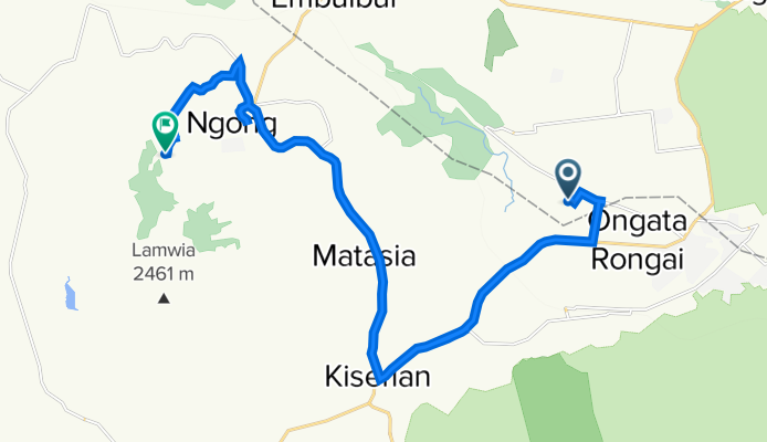
The Blasto trail
A cycling route starting in Ngong, Kajiado County, Kenya.
Overview
About this route
- 2 h 7 min
- Duration
- 31.6 km
- Distance
- 603 m
- Ascent
- 230 m
- Descent
- 15 km/h
- Avg. speed
- 2,159 m
- Max. altitude

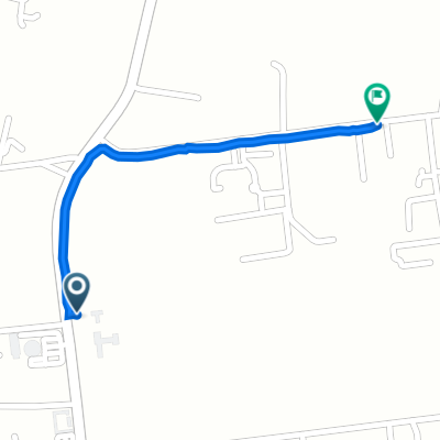
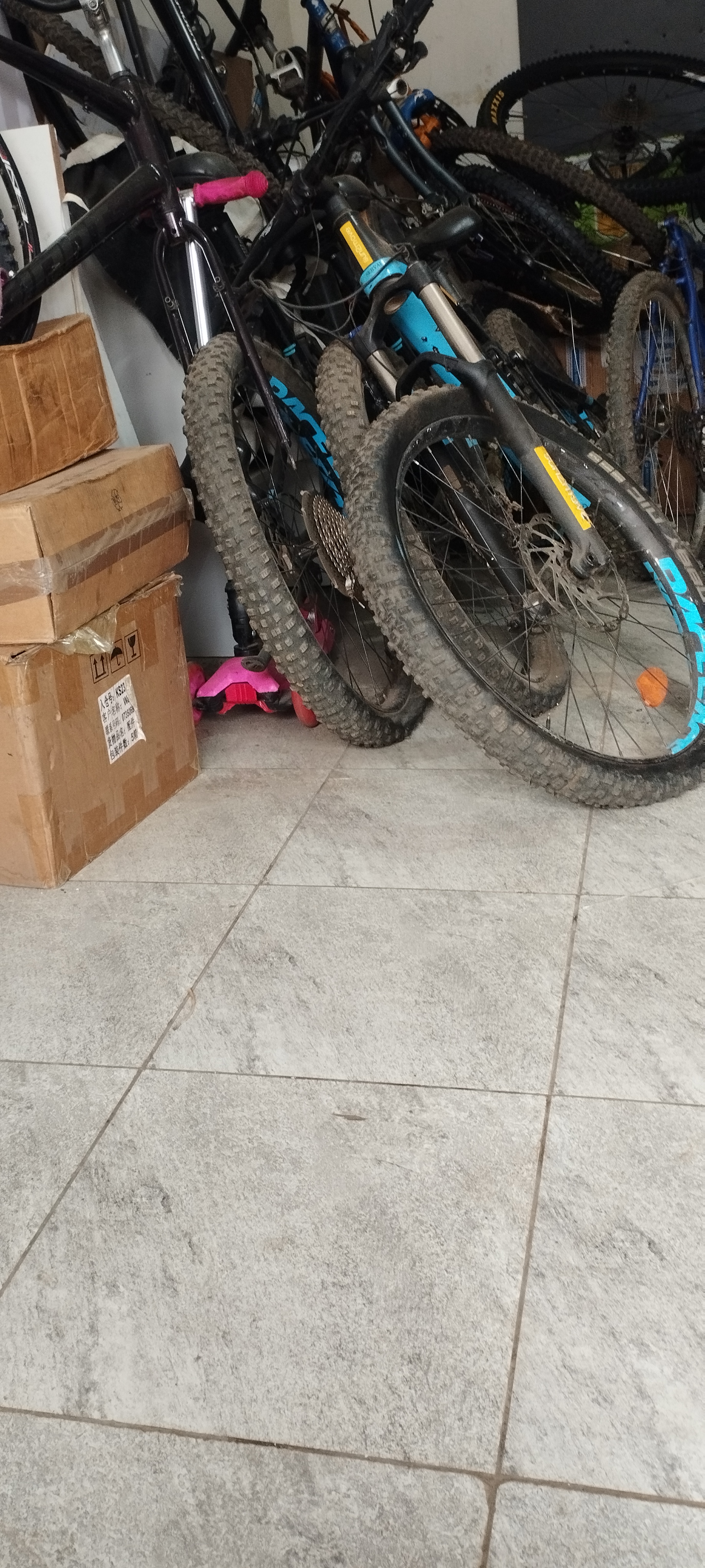
Route photos


Continue with Bikemap
Use, edit, or download this cycling route
You would like to ride The Blasto trail or customize it for your own trip? Here is what you can do with this Bikemap route:
Free features
- Save this route as favorite or in collections
- Copy & plan your own version of this route
- Sync your route with Garmin or Wahoo
Premium features
Free trial for 3 days, or one-time payment. More about Bikemap Premium.
- Navigate this route on iOS & Android
- Export a GPX / KML file of this route
- Create your custom printout (try it for free)
- Download this route for offline navigation
Discover more Premium features.
Get Bikemap PremiumFrom our community
Other popular routes starting in Ngong
 The Blasto trail
- Distance
- 31.6 km
- Ascent
- 603 m
- Descent
- 230 m
- Location
- Ngong, Kajiado County, Kenya
 Langata South Road, Nairobi to Bogani East Road, Nairobi
- Distance
- 0.9 km
- Ascent
- 16 m
- Descent
- 12 m
- Location
- Ngong, Kajiado County, Kenya
 Garage Evening Ride
- Distance
- 21.4 km
- Ascent
- 249 m
- Descent
- 222 m
- Location
- Ngong, Kajiado County, Kenya
 olkeri Karen karinde road
- Distance
- 11.4 km
- Ascent
- 59 m
- Descent
- 0 m
- Location
- Ngong, Kajiado County, Kenya
 karinde to olkeri
- Distance
- 10.6 km
- Ascent
- 144 m
- Descent
- 44 m
- Location
- Ngong, Kajiado County, Kenya
 Slow ride in hh
- Distance
- 24.2 km
- Ascent
- 126 m
- Descent
- 310 m
- Location
- Ngong, Kajiado County, Kenya
 JQW2+FH4, Nairobi to JQW2+7XJ, Nairobi
- Distance
- 11 km
- Ascent
- 184 m
- Descent
- 167 m
- Location
- Ngong, Kajiado County, Kenya
 Maasai Lodge Road, Nairobi to Hope Avenue
- Distance
- 5.3 km
- Ascent
- 23 m
- Descent
- 27 m
- Location
- Ngong, Kajiado County, Kenya
Open it in the app