2. Etappe Schönwald - Lenzkirch
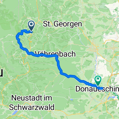
A cycling route starting in Schönwald, Baden-Wurttemberg, Germany.
Overview
About this route
Schönwald - Vöhrenbach - Hammereisenbach - Kappel - Lenzkirch
- -:--
- Duration
- 52.8 km
- Distance
- 574 m
- Ascent
- 711 m
- Descent
- ---
- Avg. speed
- ---
- Max. altitude
Route quality
Waytypes & surfaces along the route
Waytypes
Road
10.6 km
(20 %)
Track
2.1 km
(4 %)
Surfaces
Paved
40.1 km
(76 %)
Unpaved
1.6 km
(3 %)
Asphalt
39.6 km
(75 %)
Unpaved (undefined)
1.1 km
(2 %)
Continue with Bikemap
Use, edit, or download this cycling route
You would like to ride 2. Etappe Schönwald - Lenzkirch or customize it for your own trip? Here is what you can do with this Bikemap route:
Free features
- Save this route as favorite or in collections
- Copy & plan your own version of this route
- Sync your route with Garmin or Wahoo
Premium features
Free trial for 3 days, or one-time payment. More about Bikemap Premium.
- Navigate this route on iOS & Android
- Export a GPX / KML file of this route
- Create your custom printout (try it for free)
- Download this route for offline navigation
Discover more Premium features.
Get Bikemap PremiumFrom our community
Other popular routes starting in Schönwald
- Ganze Donau I
- Distance
- 104.6 km
- Ascent
- 1,353 m
- Descent
- 1,795 m
- Location
- Schönwald, Baden-Wurttemberg, Germany
- Triberg Schonach Stöckle
- Distance
- 34.5 km
- Ascent
- 777 m
- Descent
- 777 m
- Location
- Schönwald, Baden-Wurttemberg, Germany
- Wanderung zur Elzquelle
- Distance
- 12.1 km
- Ascent
- 326 m
- Descent
- 326 m
- Location
- Schönwald, Baden-Wurttemberg, Germany
- 2021 Martinskapelle-Mulhouse
- Distance
- 319.9 km
- Ascent
- 2,784 m
- Descent
- 3,636 m
- Location
- Schönwald, Baden-Wurttemberg, Germany
- Donauradtour
- Distance
- 2,889 km
- Ascent
- 421 m
- Descent
- 1,466 m
- Location
- Schönwald, Baden-Wurttemberg, Germany
- Schönwald-NuĂbach-Triberg-Schönwald
- Distance
- 34 km
- Ascent
- 552 m
- Descent
- 553 m
- Location
- Schönwald, Baden-Wurttemberg, Germany
- Triberger WasserfÀlle
- Distance
- 17.7 km
- Ascent
- 234 m
- Descent
- 354 m
- Location
- Schönwald, Baden-Wurttemberg, Germany
- 2. Etappe Schönwald - Lenzkirch
- Distance
- 52.8 km
- Ascent
- 574 m
- Descent
- 711 m
- Location
- Schönwald, Baden-Wurttemberg, Germany
Open it in the app