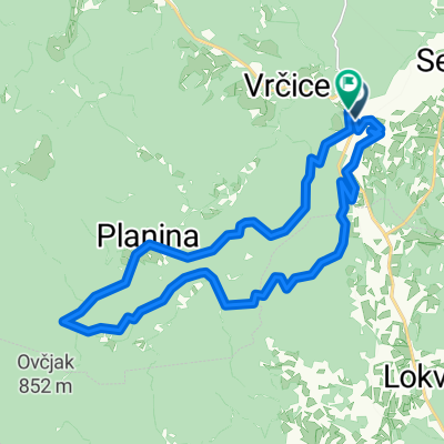
G-S-C-KV-B-M-Z-P-K-G
- 27 km
- 180 m
- 180 m
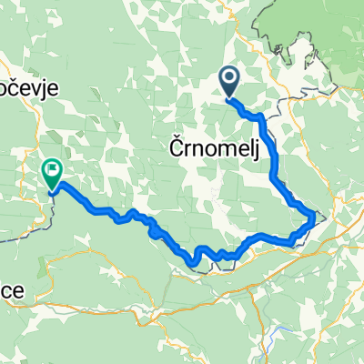
- Semič, Občina Semič, Slovenia
A cycling route starting in Semič, Občina Semič, Slovenia.
Overview
Friday, March 05, 2021 8:10 CET Elevation: 737 m - Friday, March 05, 2021 9:48 CET Elevation: 736 m - Statistics calculated based on imported data Friday, March 05, 2021 8:10 CET Distance: 58.8 km Duration: 1 h, 37 min and 47 s Average speed: 36.1 km/h Minimum elevation: 545 m Maximum elevation: 974 m Total ascent: 1155 m Total descent: 1155 m
created this 3 years ago
Route quality
Quiet road
62.2 km
(90 %)
Road
5.5 km
(8 %)
Track
1.4 km
(2 %)
Paved
6.2 km
(9 %)
Unpaved
62.2 km
(90 %)
Gravel
62.2 km
(90 %)
Asphalt
6.2 km
(9 %)
Undefined
0.7 km
(1 %)
Continue with Bikemap
You would like to ride Začetek steze MTB kolesarski maraton Kočevski rog - Konec steze MTB kolesarski maraton Kočevski rog - MTB kolesarski maraton Kočevski rog or customize it for your own trip? Here is what you can do with this Bikemap route:
Free trial for 3 days, or one-time payment. More about Bikemap Premium.
Discover more Premium features.
Get Bikemap PremiumFrom our community
Open it in the app