Maintour -Kurzvariante
- 109 km
- 604 m
- 610 m
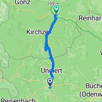
- Mudau, Baden-Wurttemberg, Germany
A cycling route starting in Mudau, Baden-Wurttemberg, Germany.
Overview
Part 1 of a circular tour by e-bike through the nature of the Odenwald and along the Main and Neckar rivers, from campsite to campsite.
created this 3 years ago
Route quality
Track
19.2 km
(48 %)
Quiet road
6.8 km
(17 %)
Paved
33.5 km
(84 %)
Unpaved
3.2 km
(8 %)
Asphalt
32.7 km
(82 %)
Gravel
3.2 km
(8 %)
Continue with Bikemap
You would like to ride Odenwald - 4 Tage mit E-Bike und Zelt - Tag 1 - Oberscheidtal bis Klingenberg or customize it for your own trip? Here is what you can do with this Bikemap route:
Free trial for 3 days, or one-time payment. More about Bikemap Premium.
Discover more Premium features.
Get Bikemap PremiumFrom our community
Open it in the app