

Jour 4, Parksville-Port-Alberni
A cycling route starting in Parksville, British Columbia, Canada.
Overview
About this route
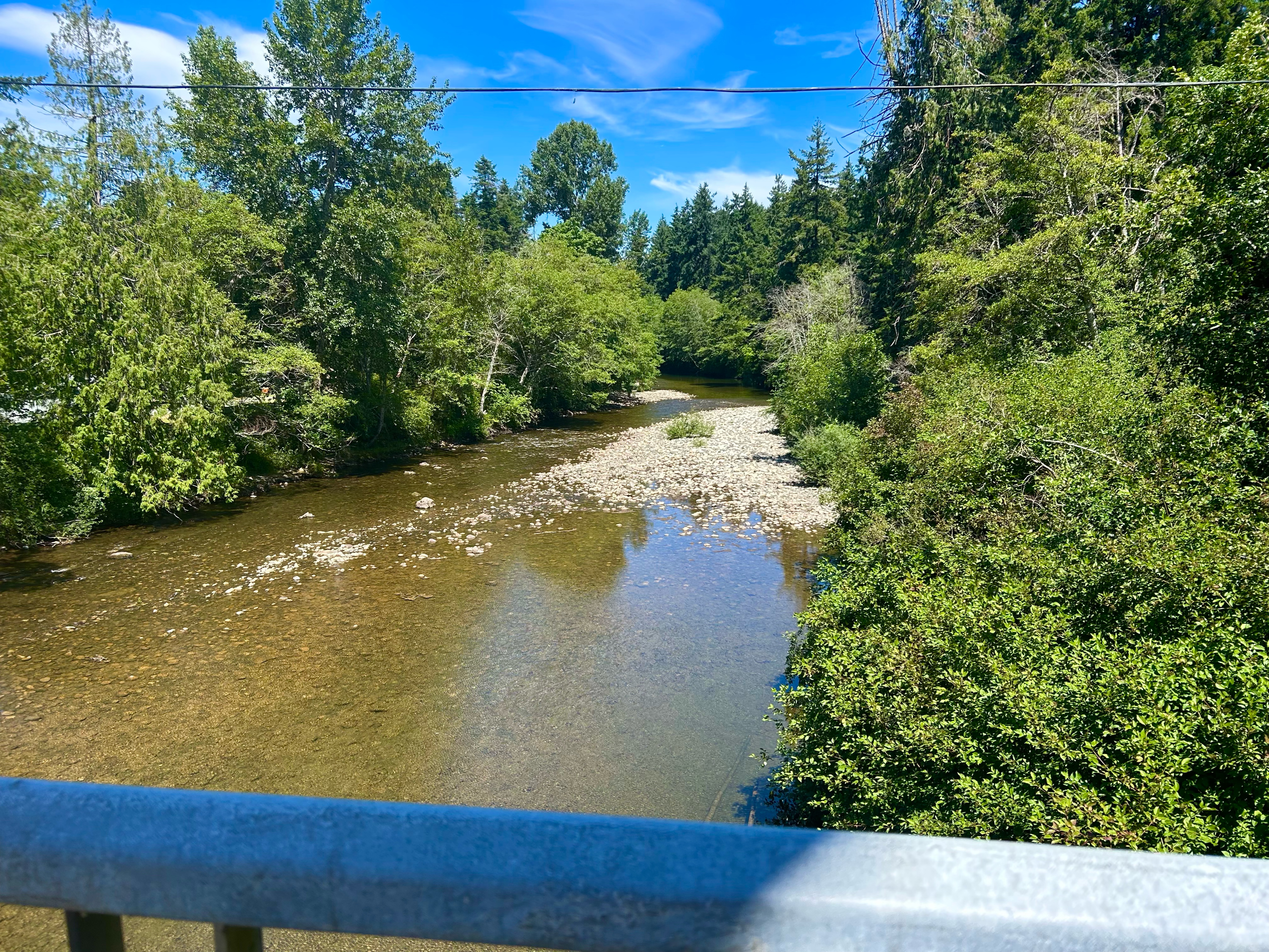
Parksville à Port Alberni, 55km, Visite de Cathedral Groove.
- -:--
- Duration
- 44.5 km
- Distance
- 795 m
- Ascent
- 655 m
- Descent
- ---
- Avg. speed
- 430 m
- Max. altitude
Route quality
Waytypes & surfaces along the route
Waytypes
Path
6.7 km
(15 %)
Quiet road
3.6 km
(8 %)
Surfaces
Paved
34.7 km
(78 %)
Unpaved
7.1 km
(16 %)
Asphalt
18.7 km
(42 %)
Paved (undefined)
16 km
(36 %)
Continue with Bikemap
Use, edit, or download this cycling route
You would like to ride Jour 4, Parksville-Port-Alberni or customize it for your own trip? Here is what you can do with this Bikemap route:
Free features
- Save this route as favorite or in collections
- Copy & plan your own version of this route
- Sync your route with Garmin or Wahoo
Premium features
Free trial for 3 days, or one-time payment. More about Bikemap Premium.
- Navigate this route on iOS & Android
- Export a GPX / KML file of this route
- Create your custom printout (try it for free)
- Download this route for offline navigation
Discover more Premium features.
Get Bikemap PremiumFrom our community
Other popular routes starting in Parksville
 Beachside Drive 181, Parksville to Tanglewood Place 1095, Parksville
- Distance
- 43.3 km
- Ascent
- 259 m
- Descent
- 225 m
- Location
- Parksville, British Columbia, Canada
 Parksville to Nanoose Bay
- Distance
- 45.9 km
- Ascent
- 375 m
- Descent
- 373 m
- Location
- Parksville, British Columbia, Canada
 August 6, 2019
- Distance
- 20.4 km
- Ascent
- 194 m
- Descent
- 196 m
- Location
- Parksville, British Columbia, Canada
 Parksville to Rathtrevor Beach Trail to Parksville
- Distance
- 16.4 km
- Ascent
- 35 m
- Descent
- 36 m
- Location
- Parksville, British Columbia, Canada
 Nanaimo to Qualicum Beach
- Distance
- 52.1 km
- Ascent
- 336 m
- Descent
- 372 m
- Location
- Parksville, British Columbia, Canada
 Creekside Pacific – Coombs Market – Qualicum Beach – Parksville
- Distance
- 43.7 km
- Ascent
- 268 m
- Descent
- 268 m
- Location
- Parksville, British Columbia, Canada
 Johnstone.Errington.Morningstar.FC
- Distance
- 35 km
- Ascent
- 264 m
- Descent
- 262 m
- Location
- Parksville, British Columbia, Canada
 Corfield Street South 222, Parksville to Corfield Street South 222, Parksville
- Distance
- 4.9 km
- Ascent
- 17 m
- Descent
- 0 m
- Location
- Parksville, British Columbia, Canada
Open it in the app