Heimbach 3A nach Rue du Fossé-des-Tanneurs
- 31.5 km
- 68 m
- 158 m
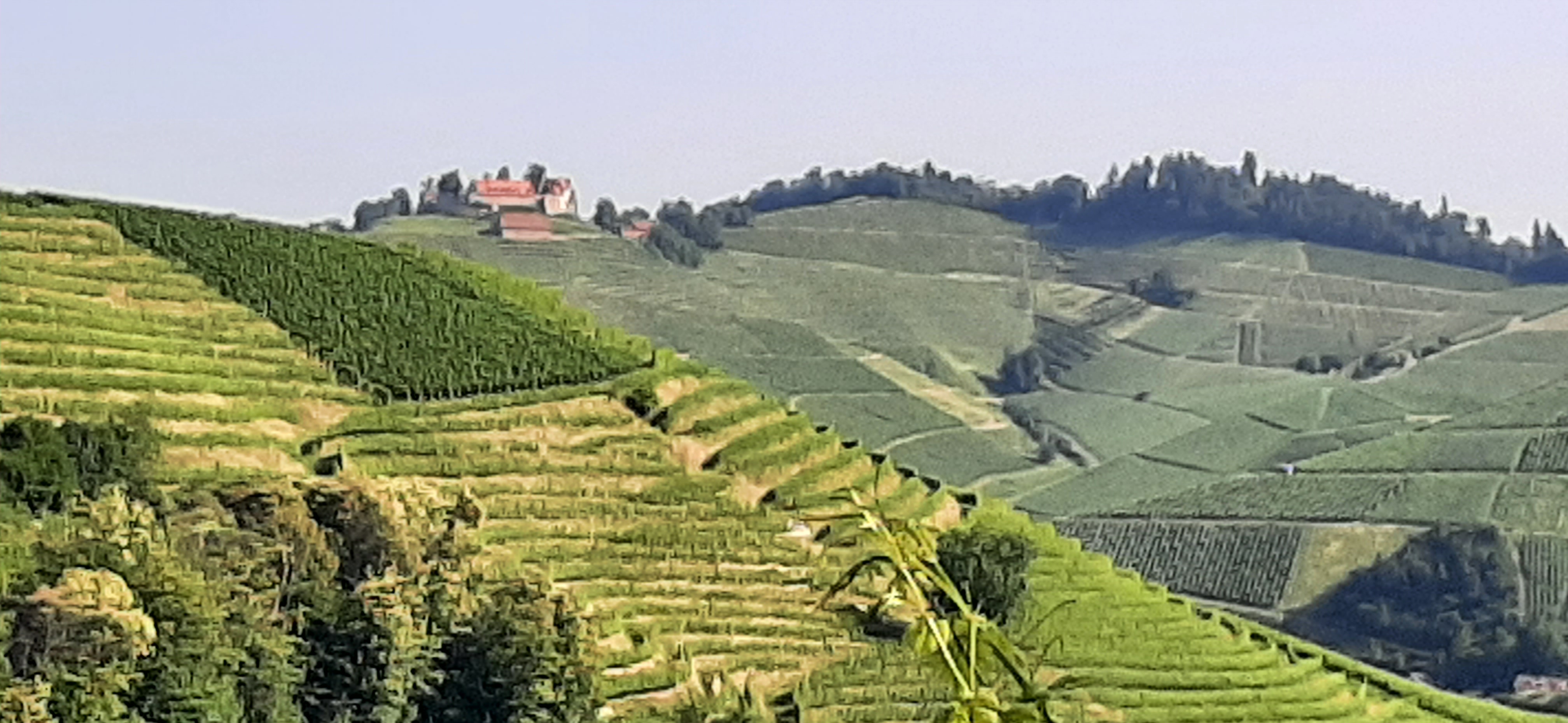
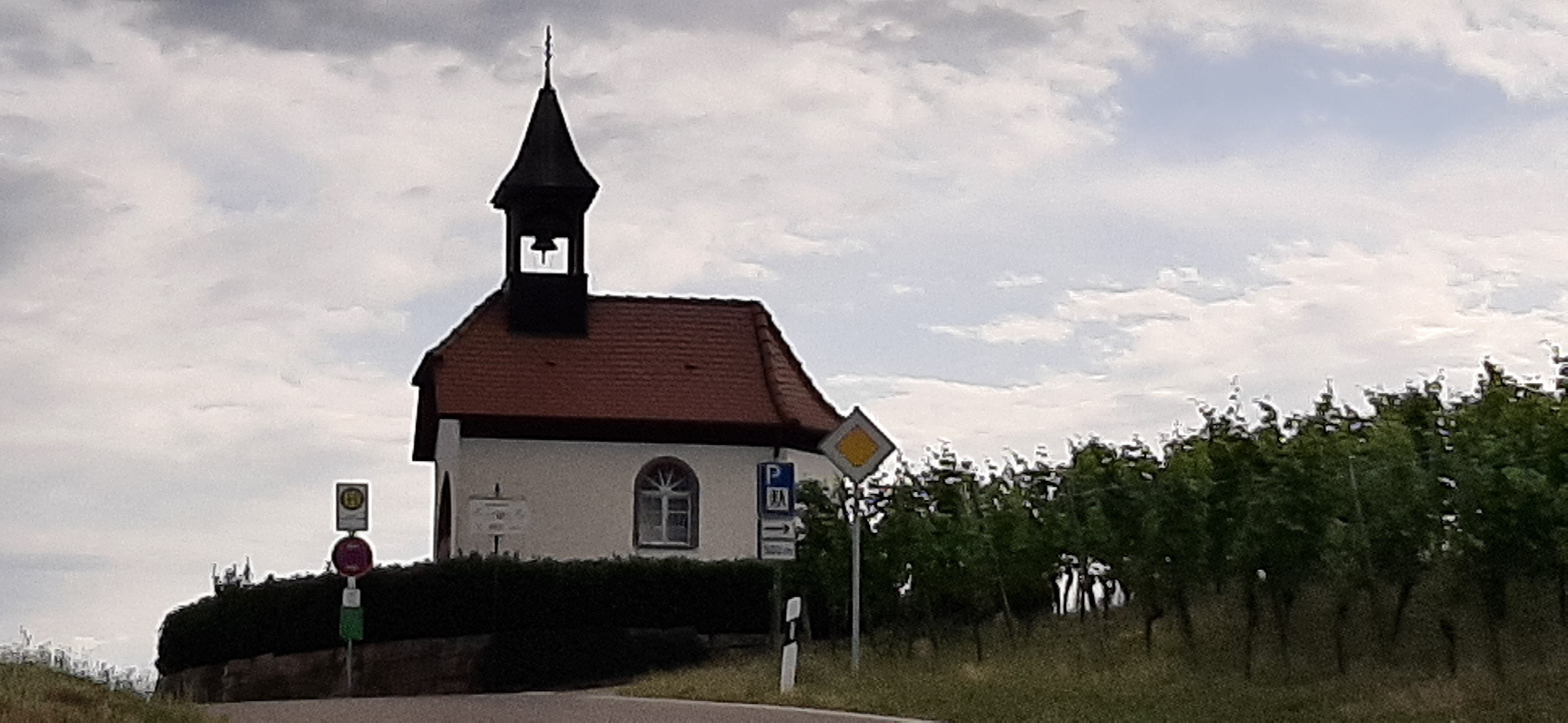
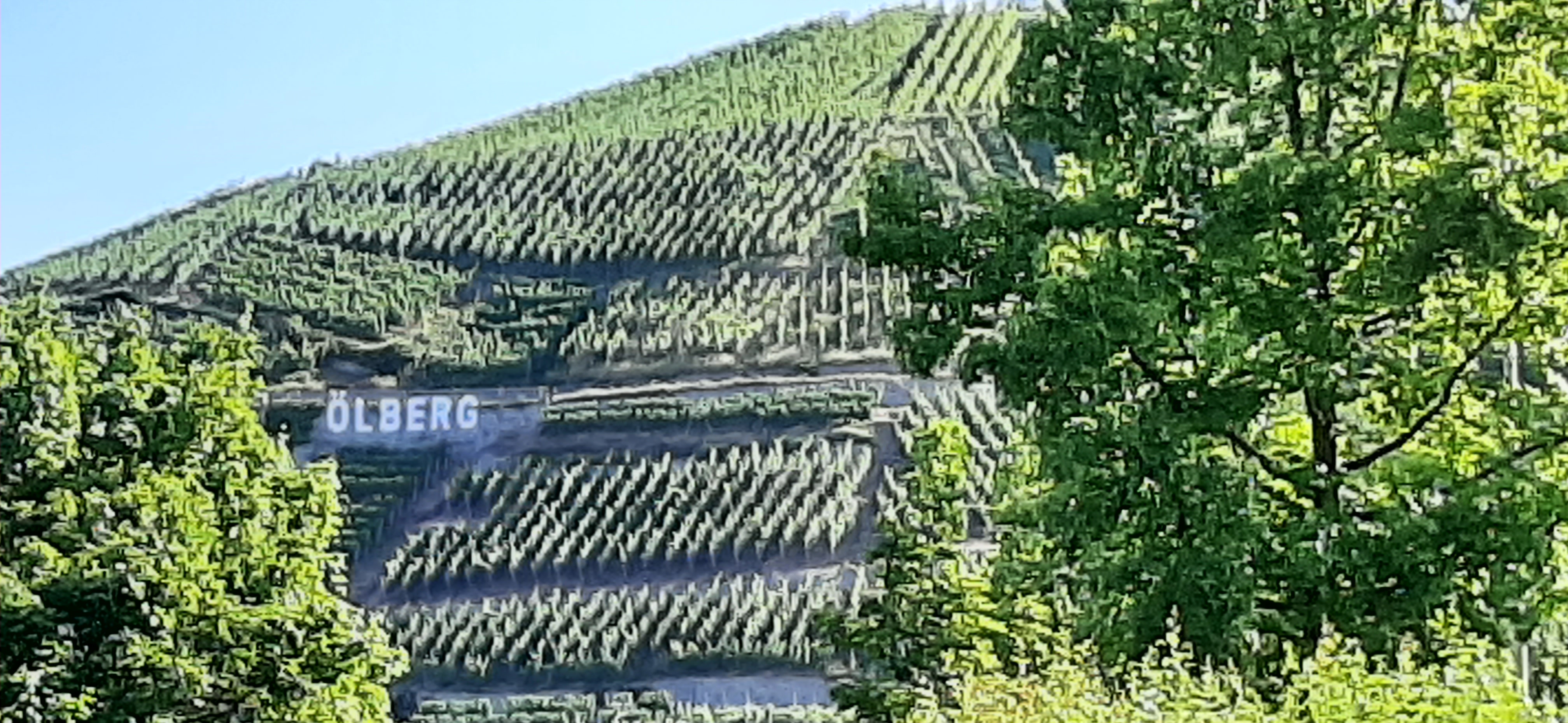
- Durbach, Baden-Wurttemberg, Germany
A cycling route starting in Durbach, Baden-Wurttemberg, Germany.
Overview
Some elevation gain, good for short training, little traffic predominantly good road surface.
created this 14 years ago
Route quality
Road
28.8 km
(78 %)
Path
1.5 km
(4 %)
Paved
29.5 km
(80 %)
Unpaved
0.4 km
(1 %)
Asphalt
29.5 km
(80 %)
Ground
0.4 km
(1 %)
Undefined
7 km
(19 %)
Continue with Bikemap
You would like to ride Schnelle anspruchsvolle Feierabend Runde or customize it for your own trip? Here is what you can do with this Bikemap route:
Free trial for 3 days, or one-time payment. More about Bikemap Premium.
Discover more Premium features.
Get Bikemap PremiumFrom our community
Open it in the app