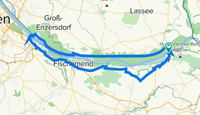
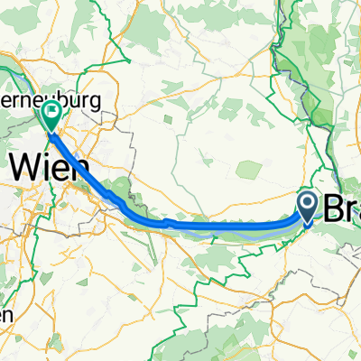
TF_Nationalpark Tour Donau-Auen 83_240
A cycling route starting in Bad Deutsch-Altenburg, Lower Austria, Austria.
Overview
About this route
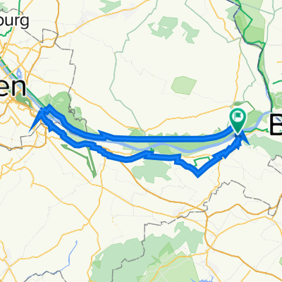
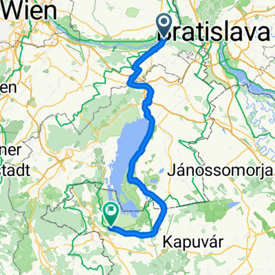
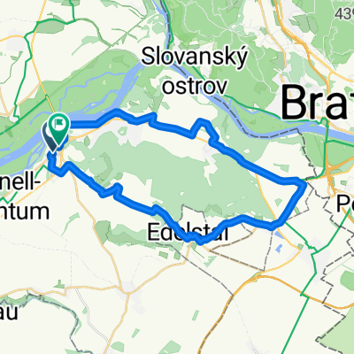
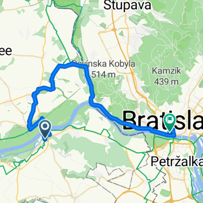
This circular route starting in Bad Deutsch Altenburg can be traveled in both directions and is signposted. / Attention: The Danube Cycle Path is being diverted due to construction work between Eckartsau and Stopfenreuth until approximately mid-2021. A detour route with special signage has been set up (see brochure). The detour is approximately 7 km longer than the original route. / Points of interest: Roman city of Carnuntum, schlossORTH National Park Center.
- -:--
- Duration
- 83 km
- Distance
- 387 m
- Ascent
- 390 m
- Descent
- ---
- Avg. speed
- 193 m
- Max. altitude
Route quality
Waytypes & surfaces along the route
Waytypes
Cycleway
29.9 km
(36 %)
Track
23.2 km
(28 %)
Surfaces
Paved
63 km
(76 %)
Unpaved
13.3 km
(16 %)
Asphalt
63 km
(76 %)
Loose gravel
8.3 km
(10 %)
Continue with Bikemap
Use, edit, or download this cycling route
You would like to ride TF_Nationalpark Tour Donau-Auen 83_240 or customize it for your own trip? Here is what you can do with this Bikemap route:
Free features
- Save this route as favorite or in collections
- Copy & plan your own version of this route
- Split it into stages to create a multi-day tour
- Sync your route with Garmin or Wahoo
Premium features
Free trial for 3 days, or one-time payment. More about Bikemap Premium.
- Navigate this route on iOS & Android
- Export a GPX / KML file of this route
- Create your custom printout (try it for free)
- Download this route for offline navigation
Discover more Premium features.
Get Bikemap PremiumFrom our community
Other popular routes starting in Bad Deutsch-Altenburg
- Bad D.-Altenburg - DeutschWagram
- Distance
- 47.3 km
- Ascent
- 41 m
- Descent
- 34 m
- Location
- Bad Deutsch-Altenburg, Lower Austria, Austria
- TF_Nationalpark Tour Donau-Auen 83_240
- Distance
- 83 km
- Ascent
- 387 m
- Descent
- 390 m
- Location
- Bad Deutsch-Altenburg, Lower Austria, Austria
- RCO 2017 Seewinkel 4.Tag
- Distance
- 70.9 km
- Ascent
- 122 m
- Descent
- 89 m
- Location
- Bad Deutsch-Altenburg, Lower Austria, Austria
- Bad Deutsch-Altenburg - heavy Marchfeld Graveln - Silberwald Bahnhst, Strasshof an der Nordbahn
- Distance
- 41 km
- Ascent
- 157 m
- Descent
- 208 m
- Location
- Bad Deutsch-Altenburg, Lower Austria, Austria
- Recording from 25 de julio 13:35
- Distance
- 27.9 km
- Ascent
- 118 m
- Descent
- 104 m
- Location
- Bad Deutsch-Altenburg, Lower Austria, Austria
- 24D1B: Bad Deutsch-Altenburg to Bratislava (UFO Bridge)
- Distance
- 18.7 km
- Ascent
- 45 m
- Descent
- 57 m
- Location
- Bad Deutsch-Altenburg, Lower Austria, Austria
- B.D.Altenburg-Schlosshof-Niederweiden-Stopfenreuth-B.D.Altbg
- Distance
- 31.4 km
- Ascent
- 92 m
- Descent
- 91 m
- Location
- Bad Deutsch-Altenburg, Lower Austria, Austria
- b deutsch altenburg - neusiedl - halbturn - wolfsthal
- Distance
- 104.6 km
- Ascent
- 192 m
- Descent
- 213 m
- Location
- Bad Deutsch-Altenburg, Lower Austria, Austria
Open it in the app