

Mein Inntalradweg 3.-6.Juli 2011
A cycling route starting in Natters, Tyrol, Austria.
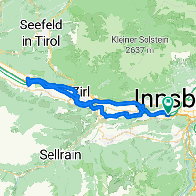
Overview
About this route
3.6. <span style="white-space: pre;"> </span>1. Etappe Natters - Kufstein
Übernachtung Hotel Felsenkeller 45,-<span style="white-space: pre;"> </span>
<span style="white-space: pre;"> </span>92,5 km Wetter kalt, immer wieder <span style="white-space: pre;"> </span>Nieselregen:
4.6.<span style="white-space: pre;"> </span>2. Etappe Kufstein - Wasserburg
Übernachtung Hotel Fletzinger 74,-
70,72 km Wetter ideal früh 15°untertags ca.25°
5.6.<span style="white-space: pre;"> </span>3.Etappe Wasserburg - Braunau
Übernachtung Hotel Post 44,-
105.2. km Wetter heiss, früh 16 ° untertags 32 °
6.6. 4. Etappe Braunau Schärding
ab Schärding bis Innwerk Passau mit Schiff in Passau noch zum Hotel Achat
Wetter heiss
- -:--
- Duration
- 330.4 km
- Distance
- 301 m
- Ascent
- 699 m
- Descent
- ---
- Avg. speed
- ---
- Max. altitude
Continue with Bikemap
Use, edit, or download this cycling route
You would like to ride Mein Inntalradweg 3.-6.Juli 2011 or customize it for your own trip? Here is what you can do with this Bikemap route:
Free features
- Save this route as favorite or in collections
- Copy & plan your own version of this route
- Split it into stages to create a multi-day tour
- Sync your route with Garmin or Wahoo
Premium features
Free trial for 3 days, or one-time payment. More about Bikemap Premium.
- Navigate this route on iOS & Android
- Export a GPX / KML file of this route
- Create your custom printout (try it for free)
- Download this route for offline navigation
Discover more Premium features.
Get Bikemap PremiumFrom our community
Other popular routes starting in Natters
 Natters - Telfs
- Distance
- 29.9 km
- Ascent
- 170 m
- Descent
- 315 m
- Location
- Natters, Tyrol, Austria
 Mutters Klagenfurt
- Distance
- 353.9 km
- Ascent
- 1,230 m
- Descent
- 1,634 m
- Location
- Natters, Tyrol, Austria
 Natters Völs via Innufer Innsbruck Hofburg
- Distance
- 15.5 km
- Ascent
- 122 m
- Descent
- 323 m
- Location
- Natters, Tyrol, Austria
 Innsbruck-Hatting-Runde
- Distance
- 39.5 km
- Ascent
- 98 m
- Descent
- 98 m
- Location
- Natters, Tyrol, Austria
 Mein Inntalradweg 3.-6.Juli 2011
- Distance
- 330.4 km
- Ascent
- 301 m
- Descent
- 699 m
- Location
- Natters, Tyrol, Austria
 Mutters - Mutterer Alm - Kreither Alm - Stockerhof - Kreith - Mutters CLONED FROM ROUTE 325136
- Distance
- 24.2 km
- Ascent
- 1,065 m
- Descent
- 1,065 m
- Location
- Natters, Tyrol, Austria
 Innsbruck-Ljubljana-Zagreb-Sarajevo-Split
- Distance
- 1,215.2 km
- Ascent
- 5,254 m
- Descent
- 6,023 m
- Location
- Natters, Tyrol, Austria
 Holy Water Runde
- Distance
- 26.7 km
- Ascent
- 697 m
- Descent
- 698 m
- Location
- Natters, Tyrol, Austria
Open it in the app