
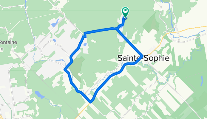
348 Rue Béliveau, Ste-Sophie à 348 Rue Béliveau, Ste-Sophie
A cycling route starting in Sainte-Sophie, Quebec, Canada.
Overview
About this route
- 1 h 4 min
- Duration
- 15.4 km
- Distance
- 121 m
- Ascent
- 125 m
- Descent
- 14.4 km/h
- Avg. speed
- 124 m
- Avg. speed

Route quality
Waytypes & surfaces along the route
Waytypes
Quiet road
6.5 km
(42 %)
Road
5.8 km
(38 %)
Surfaces
Paved
10.9 km
(71 %)
Unpaved
0.3 km
(2 %)
Paved (undefined)
6.3 km
(41 %)
Asphalt
4.6 km
(30 %)
Continue with Bikemap
Use, edit, or download this cycling route
You would like to ride 348 Rue Béliveau, Ste-Sophie à 348 Rue Béliveau, Ste-Sophie or customize it for your own trip? Here is what you can do with this Bikemap route:
Free features
- Save this route as favorite or in collections
- Copy & plan your own version of this route
- Sync your route with Garmin or Wahoo
Premium features
Free trial for 3 days, or one-time payment. More about Bikemap Premium.
- Navigate this route on iOS & Android
- Export a GPX / KML file of this route
- Create your custom printout (try it for free)
- Download this route for offline navigation
Discover more Premium features.
Get Bikemap PremiumFrom our community
Other popular routes starting in Sainte-Sophie
 Short bike tour through Saint-Calixte
- Distance
- 0.8 km
- Ascent
- 16 m
- Descent
- 14 m
- Location
- Sainte-Sophie, Quebec, Canada
 900 Ch du Lac-Connelly, St-Hippolyte à 745 Ch du Lac-Connelly, St-Hippolyte
- Distance
- 13.9 km
- Ascent
- 202 m
- Descent
- 214 m
- Location
- Sainte-Sophie, Quebec, Canada
 893 Ch du Lac-Connelly, St-Hippolyte à 741 Ch du Lac-Connelly, St-Hippolyte
- Distance
- 13.9 km
- Ascent
- 160 m
- Descent
- 162 m
- Location
- Sainte-Sophie, Quebec, Canada
 889 Ch du Lac-Connelly, St-Hippolyte à 745 Ch du Lac-Connelly, St-Hippolyte
- Distance
- 18.5 km
- Ascent
- 277 m
- Descent
- 278 m
- Location
- Sainte-Sophie, Quebec, Canada
 De Rue des Cèdres 401, Sainte-Sophie à Rue Lisette 101, Sainte-Sophie
- Distance
- 11.2 km
- Ascent
- 96 m
- Descent
- 71 m
- Location
- Sainte-Sophie, Quebec, Canada
 Recovered Route
- Distance
- 25.3 km
- Ascent
- 347 m
- Descent
- 353 m
- Location
- Sainte-Sophie, Quebec, Canada
 Rio de l'Achigan
- Distance
- 73.7 km
- Ascent
- 111 m
- Descent
- 121 m
- Location
- Sainte-Sophie, Quebec, Canada
 De Boulevard Sainte Sophie 1040, Sainte-Sophie à Boulevard Sainte Sophie 1040, Sainte-Sophie
- Distance
- 46.6 km
- Ascent
- 837 m
- Descent
- 837 m
- Location
- Sainte-Sophie, Quebec, Canada
Open it in the app