

miyagase
A cycling route starting in Chōfu, Tokyo, Japan.
Overview
About this route
- -:--
- Duration
- 93.9 km
- Distance
- 760 m
- Ascent
- 760 m
- Descent
- ---
- Avg. speed
- ---
- Max. altitude

Continue with Bikemap
Use, edit, or download this cycling route
You would like to ride miyagase or customize it for your own trip? Here is what you can do with this Bikemap route:
Free features
- Save this route as favorite or in collections
- Copy & plan your own version of this route
- Split it into stages to create a multi-day tour
- Sync your route with Garmin or Wahoo
Premium features
Free trial for 3 days, or one-time payment. More about Bikemap Premium.
- Navigate this route on iOS & Android
- Export a GPX / KML file of this route
- Create your custom printout (try it for free)
- Download this route for offline navigation
Discover more Premium features.
Get Bikemap PremiumFrom our community
Other popular routes starting in Chōfu
 Koyanagicho 6-Chōme, Fuchu to Onojimachi, Machida
- Distance
- 13 km
- Ascent
- 246 m
- Descent
- 173 m
- Location
- Chōfu, Tokyo, Japan
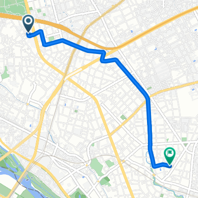
 miyagase
- Distance
- 93.9 km
- Ascent
- 760 m
- Descent
- 760 m
- Location
- Chōfu, Tokyo, Japan
 Seta 5-Chōme, Setagaya to Nakamachi 2-Chōme, Setagaya
- Distance
- 3.4 km
- Ascent
- 3 m
- Descent
- 10 m
- Location
- Chōfu, Tokyo, Japan
 20101016 関戸橋フリマ〜高尾山
- Distance
- 87.7 km
- Ascent
- 268 m
- Descent
- 268 m
- Location
- Chōfu, Tokyo, Japan
 3丁目 まで4丁目
- Distance
- 11.8 km
- Ascent
- 80 m
- Descent
- 65 m
- Location
- Chōfu, Tokyo, Japan
 Somechi, Chofu to 6-29, Nakamachi 2-Chōme, Setagaya
- Distance
- 10 km
- Ascent
- 42 m
- Descent
- 36 m
- Location
- Chōfu, Tokyo, Japan
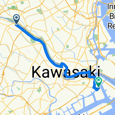
 3-chōme 5, Kawasaki to Kawasaki
- Distance
- 44.2 km
- Ascent
- 70 m
- Descent
- 40 m
- Location
- Chōfu, Tokyo, Japan
 Seta, Kawasaki to Chidoricho, Kawasaki
- Distance
- 21.1 km
- Ascent
- 112 m
- Descent
- 125 m
- Location
- Chōfu, Tokyo, Japan
Open it in the app