

Germersheim
A cycling route starting in Dudenhofen, Rhineland-Palatinate, Germany.
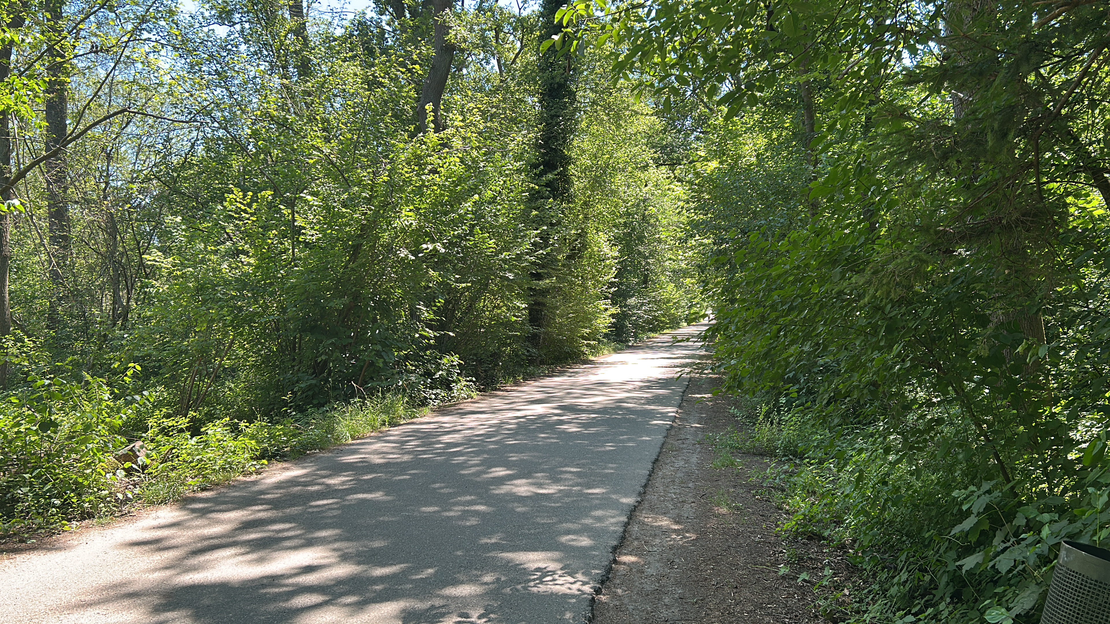
Overview
About this route
- -:--
- Duration
- 50.8 km
- Distance
- 167 m
- Ascent
- 167 m
- Descent
- ---
- Avg. speed
- 114 m
- Max. altitude
Route quality
Waytypes & surfaces along the route
Waytypes
Track
25.9 km
(51 %)
Path
11.2 km
(22 %)
Surfaces
Paved
39.1 km
(77 %)
Unpaved
6.6 km
(13 %)
Asphalt
35 km
(69 %)
Gravel
4.1 km
(8 %)
Route highlights
Points of interest along the route

Point of interest after 44.4 km
Rheinstrand Speyer
Continue with Bikemap
Use, edit, or download this cycling route
You would like to ride Germersheim or customize it for your own trip? Here is what you can do with this Bikemap route:
Free features
- Save this route as favorite or in collections
- Copy & plan your own version of this route
- Sync your route with Garmin or Wahoo
Premium features
Free trial for 3 days, or one-time payment. More about Bikemap Premium.
- Navigate this route on iOS & Android
- Export a GPX / KML file of this route
- Create your custom printout (try it for free)
- Download this route for offline navigation
Discover more Premium features.
Get Bikemap PremiumFrom our community
Other popular routes starting in Dudenhofen
 Pfälzer Weinbergrunde
- Distance
- 64.1 km
- Ascent
- 257 m
- Descent
- 250 m
- Location
- Dudenhofen, Rhineland-Palatinate, Germany
 Vom Spargeldorf zur SAP
- Distance
- 22.9 km
- Ascent
- 38 m
- Descent
- 35 m
- Location
- Dudenhofen, Rhineland-Palatinate, Germany
 Zur Kalmit
- Distance
- 37.1 km
- Ascent
- 580 m
- Descent
- 31 m
- Location
- Dudenhofen, Rhineland-Palatinate, Germany
 Rund um Römerberg #01
- Distance
- 46.8 km
- Ascent
- 79 m
- Descent
- 79 m
- Location
- Dudenhofen, Rhineland-Palatinate, Germany
 Deidesheim
- Distance
- 43.5 km
- Ascent
- 148 m
- Descent
- 148 m
- Location
- Dudenhofen, Rhineland-Palatinate, Germany
 Federweiße-Tour - RTF des RV 1908 Dudenhofen e.V. - 76 km Strecke
- Distance
- 77.4 km
- Ascent
- 242 m
- Descent
- 241 m
- Location
- Dudenhofen, Rhineland-Palatinate, Germany
 Landauer Straße, Dudenhofen naar Rue du Muhlbach, Erstein
- Distance
- 152.4 km
- Ascent
- 346 m
- Descent
- 304 m
- Location
- Dudenhofen, Rhineland-Palatinate, Germany
 Heiligenstein - Vorderweidenthal - HInterweidenthal - Annweiler - Heiligenstein
- Distance
- 132.2 km
- Ascent
- 495 m
- Descent
- 493 m
- Location
- Dudenhofen, Rhineland-Palatinate, Germany
Open it in the app