Speyer-Blaue Adria-Mundenheim
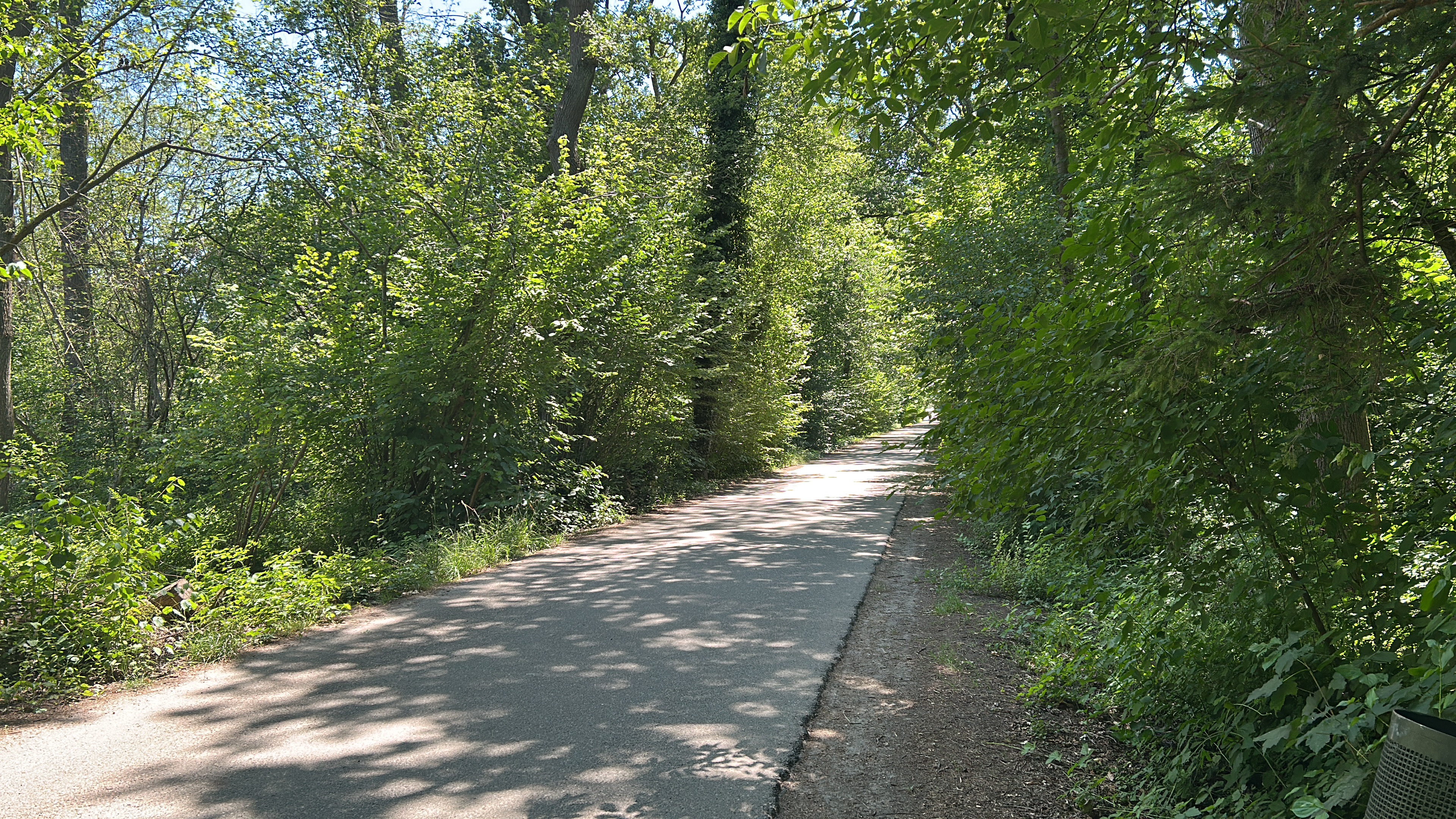
A cycling route starting in Dudenhofen, Rhineland-Palatinate, Germany.
Overview
About this route
- -:--
- Duration
- 28.7 km
- Distance
- 76 m
- Ascent
- 84 m
- Descent
- ---
- Avg. speed
- 111 m
- Max. altitude
Route quality
Waytypes & surfaces along the route
Waytypes
Track
12.6 km
(44 %)
Quiet road
6.3 km
(22 %)
Surfaces
Paved
23.8 km
(83 %)
Unpaved
0.6 km
(2 %)
Asphalt
23.6 km
(82 %)
Gravel
0.6 km
(2 %)
Route highlights
Points of interest along the route

Point of interest after 21.4 km
Blaue Adria

Point of interest after 28.6 km
Hofgut Mundenheim Fr - So 11:00 - 22:00 Uhr
Continue with Bikemap
Use, edit, or download this cycling route
You would like to ride Speyer-Blaue Adria-Mundenheim or customize it for your own trip? Here is what you can do with this Bikemap route:
Free features
- Save this route as favorite or in collections
- Copy & plan your own version of this route
- Sync your route with Garmin or Wahoo
Premium features
Free trial for 3 days, or one-time payment. More about Bikemap Premium.
- Navigate this route on iOS & Android
- Export a GPX / KML file of this route
- Create your custom printout (try it for free)
- Download this route for offline navigation
Discover more Premium features.
Get Bikemap PremiumFrom our community
Other popular routes starting in Dudenhofen
Deidesheim- Distance
- 43.5 km
- Ascent
- 148 m
- Descent
- 148 m
- Location
- Dudenhofen, Rhineland-Palatinate, Germany
Vom Spargeldorf zur SAP- Distance
- 22.9 km
- Ascent
- 38 m
- Descent
- 35 m
- Location
- Dudenhofen, Rhineland-Palatinate, Germany
Heiligenstein - Vorderweidenthal - HInterweidenthal - Annweiler - Heiligenstein- Distance
- 132.2 km
- Ascent
- 495 m
- Descent
- 493 m
- Location
- Dudenhofen, Rhineland-Palatinate, Germany
Speyer-Blaue Adria-Mundenheim- Distance
- 28.7 km
- Ascent
- 76 m
- Descent
- 84 m
- Location
- Dudenhofen, Rhineland-Palatinate, Germany
Federweiße-Tour Dudenhofen 28-09-08 118 km- Distance
- 119.3 km
- Ascent
- 1,313 m
- Descent
- 1,238 m
- Location
- Dudenhofen, Rhineland-Palatinate, Germany
Zur Kalmit- Distance
- 37.1 km
- Ascent
- 580 m
- Descent
- 31 m
- Location
- Dudenhofen, Rhineland-Palatinate, Germany
Viehtriftstraße nach Klosterstraße 13A- Distance
- 12.1 km
- Ascent
- 40 m
- Descent
- 52 m
- Location
- Dudenhofen, Rhineland-Palatinate, Germany
Rund um Römerberg #01- Distance
- 46.8 km
- Ascent
- 79 m
- Descent
- 79 m
- Location
- Dudenhofen, Rhineland-Palatinate, Germany
Open it in the app

