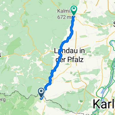
Route in Weißenburg 30km
- 31.5 km
- 292 m
- 291 m
- Schweigen-Rechtenbach, Rhineland-Palatinate, Germany
A cycling route starting in Schweigen-Rechtenbach, Rhineland-Palatinate, Germany.
Overview
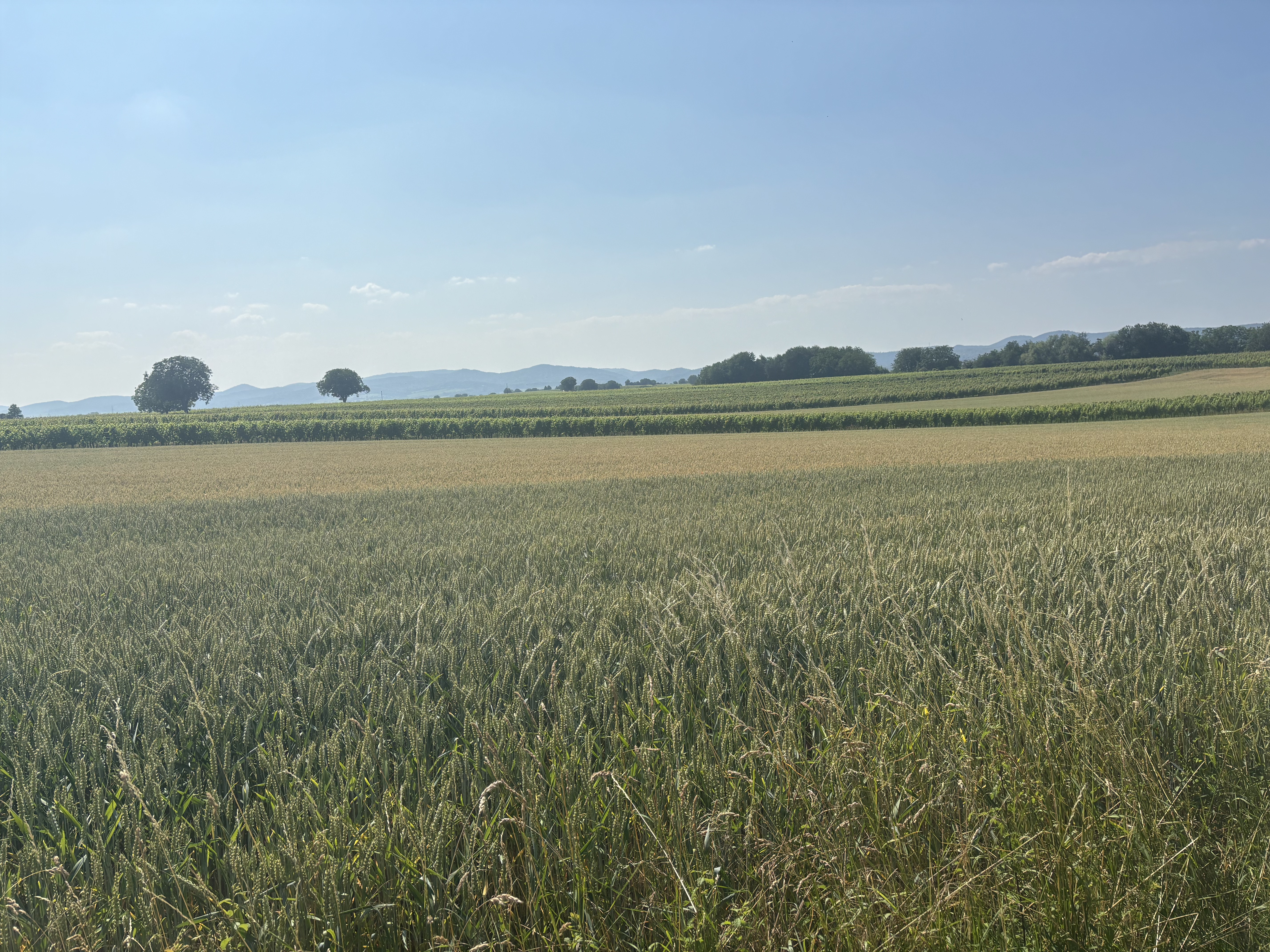
From Wissembourg on the Lautertalweg to Bobenthal. Passing by Seehof over Lauterschwan to Vorderweidenthal. From there, it continues on the Klingenbachweg to Gosserweiler-Stein. At Völkersweiler, follow the Burgentourradweg to the Deutsche Weinstrasse. Stopover 'Weinpanorama' in Heuchelheim-Klingen. Then it goes through the vineyards to the train station in Insheim.
created this 3 years ago
Route quality
Track
31.2 km
(62 %)
Quiet road
6.5 km
(13 %)
Paved
39.3 km
(78 %)
Unpaved
8.6 km
(17 %)
Asphalt
25.7 km
(51 %)
Concrete
9.6 km
(19 %)
Continue with Bikemap
You would like to ride Wissembourg - Insheim or customize it for your own trip? Here is what you can do with this Bikemap route:
Free trial for 3 days, or one-time payment. More about Bikemap Premium.
Discover more Premium features.
Get Bikemap PremiumFrom our community
Open it in the app