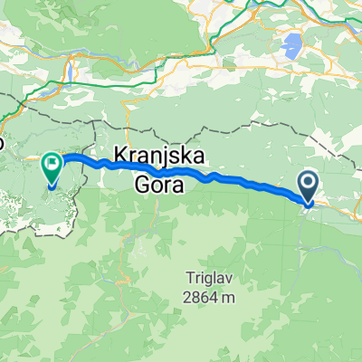
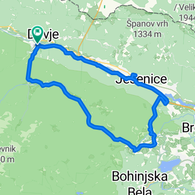
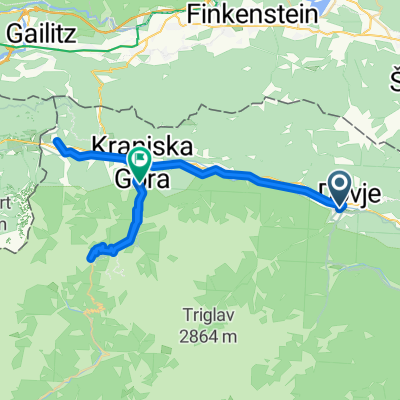
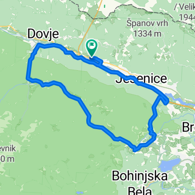
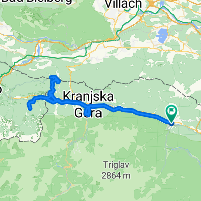
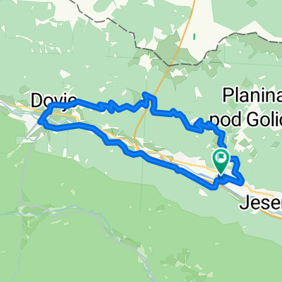
Bledi tókerülés (hard core)
A cycling route starting in Hrušica, Jesenice, Slovenia.
Overview
About this route
- -:--
- Duration
- 56 km
- Distance
- 979 m
- Ascent
- 978 m
- Descent
- ---
- Avg. speed
- 890 m
- Max. altitude
Route quality
Waytypes & surfaces along the route
Waytypes
Quiet road
22.4 km
(40 %)
Road
17.3 km
(31 %)
Surfaces
Paved
36.4 km
(65 %)
Unpaved
0.6 km
(1 %)
Asphalt
35.8 km
(64 %)
Paved (undefined)
0.6 km
(1 %)
Route highlights
Points of interest along the route
Accommodation after 56 km
Szállás
Continue with Bikemap
Use, edit, or download this cycling route
You would like to ride Bledi tókerülés (hard core) or customize it for your own trip? Here is what you can do with this Bikemap route:
Free features
- Save this route as favorite or in collections
- Copy & plan your own version of this route
- Sync your route with Garmin or Wahoo
Premium features
Free trial for 3 days, or one-time payment. More about Bikemap Premium.
- Navigate this route on iOS & Android
- Export a GPX / KML file of this route
- Create your custom printout (try it for free)
- Download this route for offline navigation
Discover more Premium features.
Get Bikemap PremiumFrom our community
Other popular routes starting in Hrušica
Mojstrana - Bohinjska Bistrica- Distance
- 53.7 km
- Ascent
- 2,507 m
- Descent
- 1,864 m
- Location
- Hrušica, Jesenice, Slovenia
Mojstrana - Dolina reke Radovne - Bled - Koroška Bela - Jesenice - Mojstrana- Distance
- 49 km
- Ascent
- 510 m
- Descent
- 510 m
- Location
- Hrušica, Jesenice, Slovenia
Jesenice Mojstrana Juliana trail MTB- Distance
- 25.8 km
- Ascent
- 941 m
- Descent
- 962 m
- Location
- Hrušica, Jesenice, Slovenia
VRŠIČ- Distance
- 52.9 km
- Ascent
- 1,185 m
- Descent
- 1,232 m
- Location
- Hrušica, Jesenice, Slovenia
Pokljuka celotni- Distance
- 54 km
- Ascent
- 1,263 m
- Descent
- 1,264 m
- Location
- Hrušica, Jesenice, Slovenia
Mojstrana-Valbruna- Distance
- 40.6 km
- Ascent
- 433 m
- Descent
- 260 m
- Location
- Hrušica, Jesenice, Slovenia
Bledi tókerülés (hard core)- Distance
- 56 km
- Ascent
- 979 m
- Descent
- 978 m
- Location
- Hrušica, Jesenice, Slovenia
Route in Mojstrana- Distance
- 65 km
- Ascent
- 1,567 m
- Descent
- 1,568 m
- Location
- Hrušica, Jesenice, Slovenia
Open it in the app


