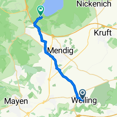
Ruitscher Straße 11, Welling nach Ruitscher Straße 11, Welling
- 28.5 km
- 280 m
- 238 m
- Welling, Rhineland-Palatinate, Germany
A cycling route starting in Welling, Rhineland-Palatinate, Germany.
Overview
The route combines the Vulkanpark cycling path with the Maifeld cycling path.
Start at the Fraukirch pilgrimage church, Vulkanpark cycling path via Kruft to the Nette Park with a duck pond near Plaidt, via Saffig to Bassenheim, here onto the Maifeld cycling path (former railway line), north past the Karmelenberg, via Ochtendung with a possible stop at the beer garden 'Am Alten Bahnhof', continuing via Kerben, Polch where another stop is possible at the 'Alter Bahnhof Polch' beer garden, then via Nettesürsch, through tunnels I + II near Hausen, over the Nette viaduct, Hausen (Mayen), here again onto the Vulkanpark cycling path, past Kottenheim and Thür, Thürer Wiesen, back to the beer garden at the Fraukircher Hof guesthouse.
A very comfortable loop, almost entirely on the Vulkanpark and Maifeld cycling paths with few climbs (approx. 310 meters elevation gain)
created this 3 years ago
Route quality
Path
16.6 km
(41 %)
Track
10.9 km
(27 %)
Paved
35.5 km
(88 %)
Unpaved
3.2 km
(8 %)
Asphalt
35.5 km
(88 %)
Gravel
1.6 km
(4 %)
Continue with Bikemap
You would like to ride Fraukirch-Vulkanpark-Maifeld 40km or customize it for your own trip? Here is what you can do with this Bikemap route:
Free trial for 3 days, or one-time payment. More about Bikemap Premium.
Discover more Premium features.
Get Bikemap PremiumFrom our community
Open it in the app