

Wörnitz-Altmühl
A cycling route starting in Langweid, Bavaria, Germany.
Overview
About this route
- -:--
- Duration
- 351.3 km
- Distance
- 1,541 m
- Ascent
- 1,539 m
- Descent
- ---
- Avg. speed
- 511 m
- Max. altitude
Route quality
Waytypes & surfaces along the route
Waytypes
Quiet road
98.4 km
(28 %)
Track
87.8 km
(25 %)
Surfaces
Paved
245.9 km
(70 %)
Unpaved
38.6 km
(11 %)
Asphalt
228.3 km
(65 %)
Gravel
28.1 km
(8 %)
Route highlights
Points of interest along the route
Point of interest after 129.7 km
Point of interest after 143.8 km
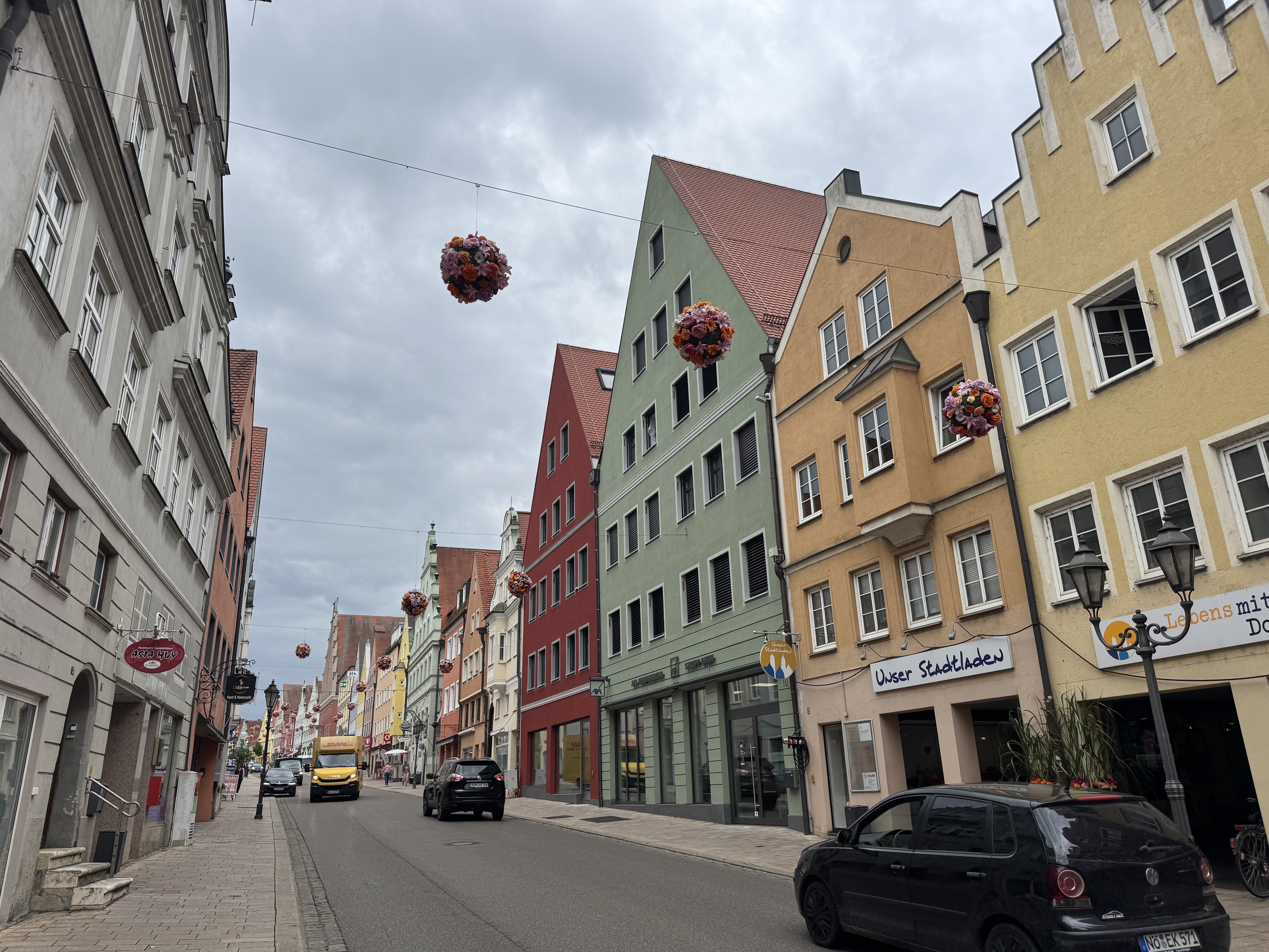
Schillingsfürst (Ende/Anfang Wörnitzradweg)
Point of interest after 162.2 km
Continue with Bikemap
Use, edit, or download this cycling route
You would like to ride Wörnitz-Altmühl or customize it for your own trip? Here is what you can do with this Bikemap route:
Free features
- Save this route as favorite or in collections
- Copy & plan your own version of this route
- Split it into stages to create a multi-day tour
- Sync your route with Garmin or Wahoo
Premium features
Free trial for 3 days, or one-time payment. More about Bikemap Premium.
- Navigate this route on iOS & Android
- Export a GPX / KML file of this route
- Create your custom printout (try it for free)
- Download this route for offline navigation
Discover more Premium features.
Get Bikemap PremiumFrom our community
Other popular routes starting in Langweid
 westliche Wälder ab Langweid
- Distance
- 23.8 km
- Ascent
- 125 m
- Descent
- 126 m
- Location
- Langweid, Bavaria, Germany
 Donautäler plus Mindelheim von Langweid aus
- Distance
- 371.9 km
- Ascent
- 2,795 m
- Descent
- 2,796 m
- Location
- Langweid, Bavaria, Germany
 Füssen
- Distance
- 123.6 km
- Ascent
- 468 m
- Descent
- 114 m
- Location
- Langweid, Bavaria, Germany
 Feierabendtour Stettenhofen-Schönbach-Stettenhofen
- Distance
- 44.2 km
- Ascent
- 249 m
- Descent
- 249 m
- Location
- Langweid, Bavaria, Germany
 MTB Tour westliche Wälder
- Distance
- 26.2 km
- Ascent
- 197 m
- Descent
- 194 m
- Location
- Langweid, Bavaria, Germany
 5 Langweid am Lech - Weilheim / Oberbayern
- Distance
- 99.7 km
- Ascent
- 254 m
- Descent
- 146 m
- Location
- Langweid, Bavaria, Germany
 Am Lehenauweg, Langweid to Münsterplatz, Donauwörth
- Distance
- 34.3 km
- Ascent
- 80 m
- Descent
- 120 m
- Location
- Langweid, Bavaria, Germany
 Holzenrunde
- Distance
- 47.3 km
- Ascent
- 312 m
- Descent
- 318 m
- Location
- Langweid, Bavaria, Germany
Open it in the app