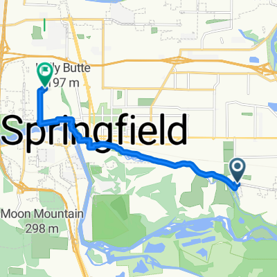
Franklin Boulevard 3005, Eugene to South A Street 510, Springfield
A cycling route starting in Springfield, Oregon, United States of America.
Overview
About this route
- 8 h 24 min
- Duration
- 17.5 km
- Distance
- 158 m
- Ascent
- 155 m
- Descent
- 2.1 km/h
- Avg. speed
- 177 m
- Avg. speed
Route photos
Continue with Bikemap
Use, edit, or download this cycling route
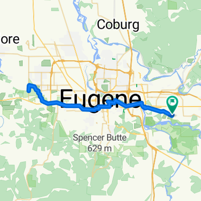
You would like to ride Franklin Boulevard 3005, Eugene to South A Street 510, Springfield or customize it for your own trip? Here is what you can do with this Bikemap route:
Free features
- Save this route as favorite or in collections
- Copy & plan your own version of this route
- Sync your route with Garmin or Wahoo
Premium features
Free trial for 3 days, or one-time payment. More about Bikemap Premium.
- Navigate this route on iOS & Android
- Export a GPX / KML file of this route
- Create your custom printout (try it for free)
- Download this route for offline navigation
Discover more Premium features.
Get Bikemap PremiumFrom our community
Other popular routes starting in Springfield
- Centennial Boulevard 944, Springfield to Centennial Boulevard 944, Springfield
- Distance
- 36.2 km
- Ascent
- 97 m
- Descent
- 74 m
- Location
- Springfield, Oregon, United States of America
- McKenzie River
- Distance
- 33.8 km
- Ascent
- 83 m
- Descent
- 83 m
- Location
- Springfield, Oregon, United States of America
- 255 S A St, Springfield to 1438 9th St, Springfield
- Distance
- 2.8 km
- Ascent
- 0 m
- Descent
- 0 m
- Location
- Springfield, Oregon, United States of America
- Franklin Boulevard 3005, Eugene to South A Street 510, Springfield
- Distance
- 17.5 km
- Ascent
- 158 m
- Descent
- 155 m
- Location
- Springfield, Oregon, United States of America
- Quick bike tour through Springfield
- Distance
- 4.7 km
- Ascent
- 10 m
- Descent
- 14 m
- Location
- Springfield, Oregon, United States of America
- Centennial Boulevard 944, Springfield to Centennial Boulevard 944, Springfield
- Distance
- 31.2 km
- Ascent
- 49 m
- Descent
- 26 m
- Location
- Springfield, Oregon, United States of America
- Centennial Boulevard 966, Springfield to Centennial Boulevard 966, Springfield
- Distance
- 19.9 km
- Ascent
- 47 m
- Descent
- 46 m
- Location
- Springfield, Oregon, United States of America
- Weyerhauser Rd. To Fall Creek Lake out'n'back
- Distance
- 45.1 km
- Ascent
- 475 m
- Descent
- 345 m
- Location
- Springfield, Oregon, United States of America
Open it in the app