

TOSCANA 2022
Toscana 2022 - H - SIENA - RADDA IN CHIANTI
A cycling route starting in Siena, Tuscany, Italy.
Overview
About this route
- -:--
- Duration
- 43.6 km
- Distance
- 979 m
- Ascent
- 786 m
- Descent
- ---
- Avg. speed
- 567 m
- Max. altitude

Part of
TOSCANA 2022
12 stages
Route quality
Waytypes & surfaces along the route
Waytypes
Road
12.6 km
(29 %)
Quiet road
10 km
(23 %)
Surfaces
Paved
24.4 km
(56 %)
Unpaved
6.5 km
(15 %)
Asphalt
24 km
(55 %)
Gravel
6.5 km
(15 %)
Route highlights
Points of interest along the route
Point of interest after 0 km
San Gimignano
Point of interest after 32.5 km
Castello di Meleto
Point of interest after 43.6 km
Castellina in Chianti - Centro storico
Point of interest after 43.6 km
Tumulo di Montecalvario
Continue with Bikemap
Use, edit, or download this cycling route
You would like to ride Toscana 2022 - H - SIENA - RADDA IN CHIANTI or customize it for your own trip? Here is what you can do with this Bikemap route:
Free features
- Save this route as favorite or in collections
- Copy & plan your own version of this route
- Sync your route with Garmin or Wahoo
Premium features
Free trial for 3 days, or one-time payment. More about Bikemap Premium.
- Navigate this route on iOS & Android
- Export a GPX / KML file of this route
- Create your custom printout (try it for free)
- Download this route for offline navigation
Discover more Premium features.
Get Bikemap PremiumFrom our community
Other popular routes starting in Siena
 Nice bike ride near Siena Tuscany
- Distance
- 52.9 km
- Ascent
- 662 m
- Descent
- 644 m
- Location
- Siena, Tuscany, Italy
 Etape 2 : Siena San Giminiano
- Distance
- 37.5 km
- Ascent
- 412 m
- Descent
- 446 m
- Location
- Siena, Tuscany, Italy
 Siena - del Strade Bianche 39km
- Distance
- 38.3 km
- Ascent
- 609 m
- Descent
- 609 m
- Location
- Siena, Tuscany, Italy
 Siena - San Giminiano
- Distance
- 82.5 km
- Ascent
- 1,037 m
- Descent
- 1,036 m
- Location
- Siena, Tuscany, Italy
 Siena North
- Distance
- 85.8 km
- Ascent
- 1,180 m
- Descent
- 1,180 m
- Location
- Siena, Tuscany, Italy
 L 10 th stage Siena | Florence
- Distance
- 71.1 km
- Ascent
- 787 m
- Descent
- 1,070 m
- Location
- Siena, Tuscany, Italy
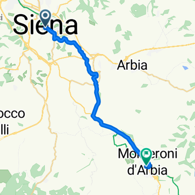 i27 siena to to monteroni d'arbia
- Distance
- 15.6 km
- Ascent
- 41 m
- Descent
- 218 m
- Location
- Siena, Tuscany, Italy
 2 - Siena - Montalcino - Siena
- Distance
- 117.8 km
- Ascent
- 1,103 m
- Descent
- 1,103 m
- Location
- Siena, Tuscany, Italy
Open it in the app