

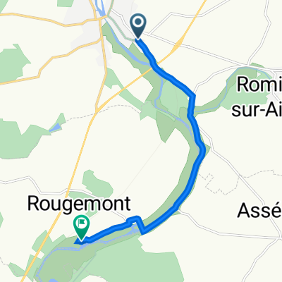
Cloyes sur le Loir - Chaumont sur Loire
A cycling route starting in Cloyes-sur-le-Loir, Centre-Val de Loire, France.
Overview
About this route
Camping municipal de Chaumont sur Loire
- -:--
- Duration
- 77 km
- Distance
- 336 m
- Ascent
- 375 m
- Descent
- ---
- Avg. speed
- 148 m
- Max. altitude

Route quality
Waytypes & surfaces along the route
Waytypes
Quiet road
33.1 km
(43 %)
Road
31.6 km
(41 %)
Surfaces
Paved
18.9 km
(25 %)
Asphalt
18.8 km
(24 %)
Paving stones
0 km
(<1 %)
Undefined
58.1 km
(75 %)
Continue with Bikemap
Use, edit, or download this cycling route
You would like to ride Cloyes sur le Loir - Chaumont sur Loire or customize it for your own trip? Here is what you can do with this Bikemap route:
Free features
- Save this route as favorite or in collections
- Copy & plan your own version of this route
- Sync your route with Garmin or Wahoo
Premium features
Free trial for 3 days, or one-time payment. More about Bikemap Premium.
- Navigate this route on iOS & Android
- Export a GPX / KML file of this route
- Create your custom printout (try it for free)
- Download this route for offline navigation
Discover more Premium features.
Get Bikemap PremiumFrom our community
Other popular routes starting in Cloyes-sur-le-Loir
 Route de France Femine 2013 Stage 4
- Distance
- 139.6 km
- Ascent
- 219 m
- Descent
- 194 m
- Location
- Cloyes-sur-le-Loir, Centre-Val de Loire, France
 De Route de Châteaudun, Cloyes-sur-le-Loir à 31–33 Avenue de la Madeleine, Montoire-sur-le-Loir
- Distance
- 59.9 km
- Ascent
- 277 m
- Descent
- 300 m
- Location
- Cloyes-sur-le-Loir, Centre-Val de Loire, France
 Cloyes sur le Loir- Château-Renault
- Distance
- 63.3 km
- Ascent
- 310 m
- Descent
- 292 m
- Location
- Cloyes-sur-le-Loir, Centre-Val de Loire, France
 Etape 6 de Cloyes sur le Loir à Bellême
- Distance
- 82.7 km
- Ascent
- 738 m
- Descent
- 620 m
- Location
- Cloyes-sur-le-Loir, Centre-Val de Loire, France
 De 45 Rue Jean Chauveau, Cloyes-sur-le-Loir à 1 Avenue de la Madeleine, Montoire-sur-le-Loir
- Distance
- 60.9 km
- Ascent
- 203 m
- Descent
- 230 m
- Location
- Cloyes-sur-le-Loir, Centre-Val de Loire, France
 vers le moulin bleu
- Distance
- 7 km
- Ascent
- 57 m
- Descent
- 68 m
- Location
- Cloyes-sur-le-Loir, Centre-Val de Loire, France
 Cloyes2chateaudun
- Distance
- 30.7 km
- Ascent
- 285 m
- Descent
- 291 m
- Location
- Cloyes-sur-le-Loir, Centre-Val de Loire, France
 De Route de Montigny 13A, Cloyes-les-Trois-Rivières à Rue du Change 36, Vendôme
- Distance
- 40 km
- Ascent
- 96 m
- Descent
- 113 m
- Location
- Cloyes-sur-le-Loir, Centre-Val de Loire, France
Open it in the app