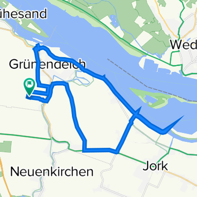
Elbrunde
A cycling route starting in Steinkirchen, Lower Saxony, Germany.
Overview
About this route
Schöne Tour an der Elbe.
Das Kleingeld für die Fähren nicht vergessen!
Zwischen Glückstadt und Haseldorf kann man wunderbar aus schwarzen Reifen grüne machen ;-) määh
- -:--
- Duration
- 113.1 km
- Distance
- 29 m
- Ascent
- 29 m
- Descent
- ---
- Avg. speed
- ---
- Avg. speed
Continue with Bikemap
Use, edit, or download this cycling route
You would like to ride Elbrunde or customize it for your own trip? Here is what you can do with this Bikemap route:
Free features
- Save this route as favorite or in collections
- Copy & plan your own version of this route
- Sync your route with Garmin or Wahoo
Premium features
Free trial for 3 days, or one-time payment. More about Bikemap Premium.
- Navigate this route on iOS & Android
- Export a GPX / KML file of this route
- Create your custom printout (try it for free)
- Download this route for offline navigation
Discover more Premium features.
Get Bikemap PremiumFrom our community
Other popular routes starting in Steinkirchen
- Kirschenland - Harsefeld (21 Km) via Issendorf
- Distance
- 21 km
- Ascent
- 55 m
- Descent
- 32 m
- Location
- Steinkirchen, Lower Saxony, Germany
- Elbrunde
- Distance
- 113.1 km
- Ascent
- 29 m
- Descent
- 29 m
- Location
- Steinkirchen, Lower Saxony, Germany
- Lühe - Mittelnkirchen - Lühe 10km
- Distance
- 9.8 km
- Ascent
- 0 m
- Descent
- 0 m
- Location
- Steinkirchen, Lower Saxony, Germany
- Schützenstraße 48, Steinkirchen nach Buxtehuder Straße 37, Apensen
- Distance
- 20.3 km
- Ascent
- 76 m
- Descent
- 77 m
- Location
- Steinkirchen, Lower Saxony, Germany
- kirschenland - cranz und zurück
- Distance
- 24 km
- Ascent
- 0 m
- Descent
- 0 m
- Location
- Steinkirchen, Lower Saxony, Germany
- Kirschenland - Harsefeld (20 Km)
- Distance
- 19.8 km
- Ascent
- 48 m
- Descent
- 27 m
- Location
- Steinkirchen, Lower Saxony, Germany
- HH-L: Tag 1
- Distance
- 102.6 km
- Ascent
- 308 m
- Descent
- 235 m
- Location
- Steinkirchen, Lower Saxony, Germany
- Krautsand
- Distance
- 35.4 km
- Ascent
- 30 m
- Descent
- 29 m
- Location
- Steinkirchen, Lower Saxony, Germany
Open it in the app