AAR Ammergauer Alpen
- 207.2 km
- 1,043 m
- 1,470 m
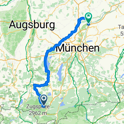
- Ettal, Bavaria, Germany
A cycling route starting in Ettal, Bavaria, Germany.
Overview
Long cycle route from the Ammer springs near Oberammergau over Lake Ammer to Moosburg an der Isar
created this 3 years ago
Route quality
Quiet road
83.2 km
(41 %)
Track
77.1 km
(38 %)
Paved
125.8 km
(62 %)
Unpaved
64.9 km
(32 %)
Asphalt
119.7 km
(59 %)
Gravel
44.6 km
(22 %)
Continue with Bikemap
You would like to ride Fernradweg - Ammer Amper Radweg - Fernradweg - Ammer Amper Radweg or customize it for your own trip? Here is what you can do with this Bikemap route:
Free trial for 3 days, or one-time payment. More about Bikemap Premium.
Discover more Premium features.
Get Bikemap PremiumFrom our community
Open it in the app