Hôtel de la Buffe Route forestière de Davière
- 21.4 km
- 416 m
- 417 m
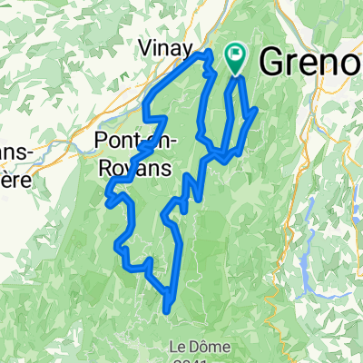
- Autrans, Auvergne-Rhône-Alpes, France
Overview
created this 3 years ago
Part of
13 stages
Route quality
Road
18.3 km
(26 %)
Quiet road
4.2 km
(6 %)
Paved
55.7 km
(79 %)
Unpaved
3.5 km
(5 %)
Asphalt
55.7 km
(79 %)
Loose gravel
3.5 km
(5 %)
Undefined
11.3 km
(16 %)
Continue with Bikemap
You would like to ride 22-05 or customize it for your own trip? Here is what you can do with this Bikemap route:
Free trial for 3 days, or one-time payment. More about Bikemap Premium.
Discover more Premium features.
Get Bikemap PremiumFrom our community
Open it in the app