Weiße Marter - Kreuzhaus CLONED FROM ROUTE 1107654
- 25.2 km
- 652 m
- 650 m
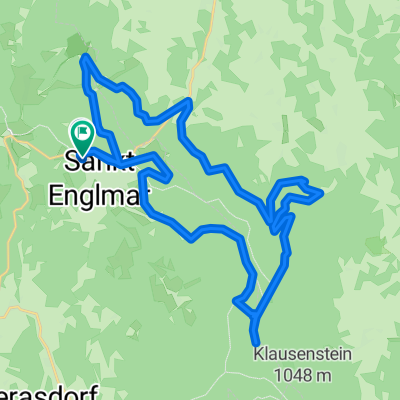
- Sankt Englmar, Bavaria, Germany
The Käsplatte is located north of St. Englmar, between the villages of Kolmberg and Hinterwies. / The circular tour first takes us along the west side of Pröller and then broadly around the Käsplatte.
Free trial for 3 days, or one-time payment. More about Bikemap Premium.
Discover more Premium features.
Get Bikemap PremiumOpen it in the app