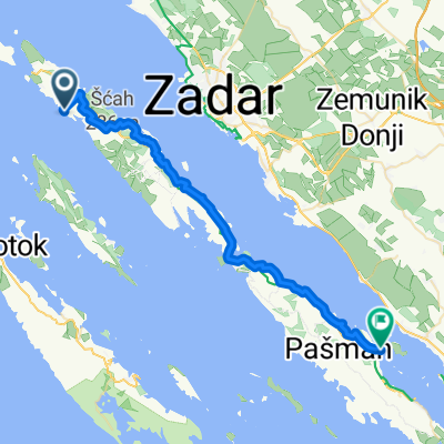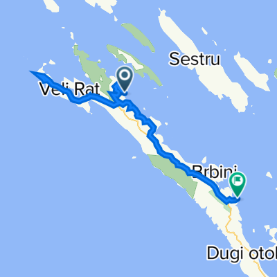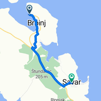
Državna Cesta 109, Savar to Savar 2, Savar
- 35.1 km
- 457 m
- 517 m
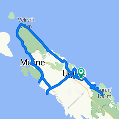
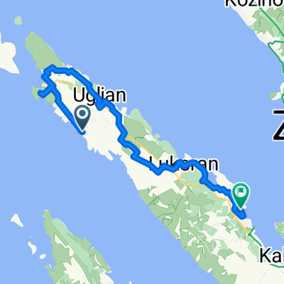
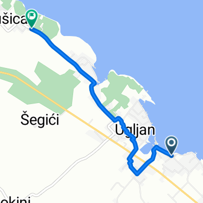
- Ugljan, Zadar County, Croatia
A cycling route starting in Ugljan, Zadar County, Croatia.
Overview
created this 3 years ago
Route quality
Quiet road
1.7 km
(5 %)
Road
0.7 km
(2 %)
Paved
32.5 km
(93 %)
Asphalt
32.5 km
(93 %)
Undefined
2.4 km
(7 %)
Continue with Bikemap
You would like to ride Recovered Route or customize it for your own trip? Here is what you can do with this Bikemap route:
Free trial for 3 days, or one-time payment. More about Bikemap Premium.
Discover more Premium features.
Get Bikemap PremiumFrom our community
Open it in the app